
What is recorded here
Man-made underground passage on a rise in pastureland. This drystone-built L-shaped Man-made underground passage (L over 21m) consists of three chambers connected by two drop-hole creeps. It was discovered in 1982 during building operations and was subsequently surveyed (Buckley and O'Brien 1985-6, 139-42). The first chamber (L 6.5m; Wth 1.6m; H 1.5m) ran SSE-NNW. Access was gained at NNW end at a point where roof lintels had collapsed. The drop-hole creep (L 2m; Wth 0.7m; H 1m max.) extended off NNE side and lead to the second chamber (L 6.5m; Wth 1.4m. H 1.8m) which ran ENE-WSW. Another drop-hole creep (L 2.1m; Wth 0.9m; H 0.75m) at its ENE end lead to the third chamber (L 4m; Wth 1.8m; H 1.65m), which was similarly aligned. No visible surface trace survives.
Compiled by: Paul Gosling and Paul Walsh
Date of upload: 27 January 2015
The monument record does not grant public access. Check the route and ask the landowner before entering private land.
- What survives
- Recorded monument
Places near here
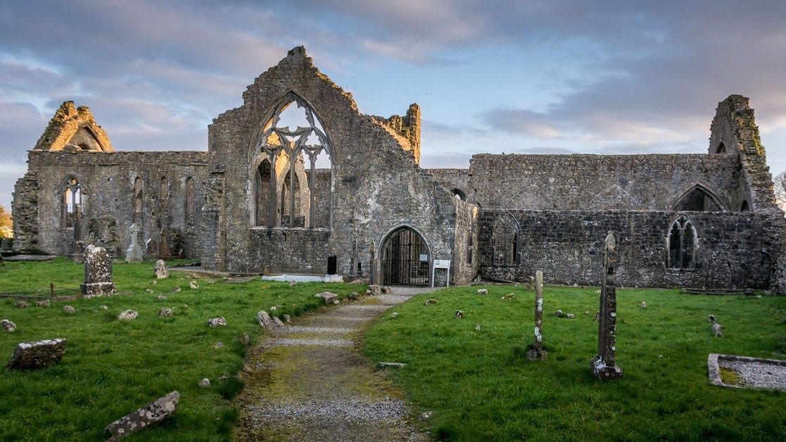 Enclosure in An Carn Mór ThiarEnclosure · 1404 yd
 Cloghmoyle Castle (in ruins)Castle, unclassified · 1662 yd
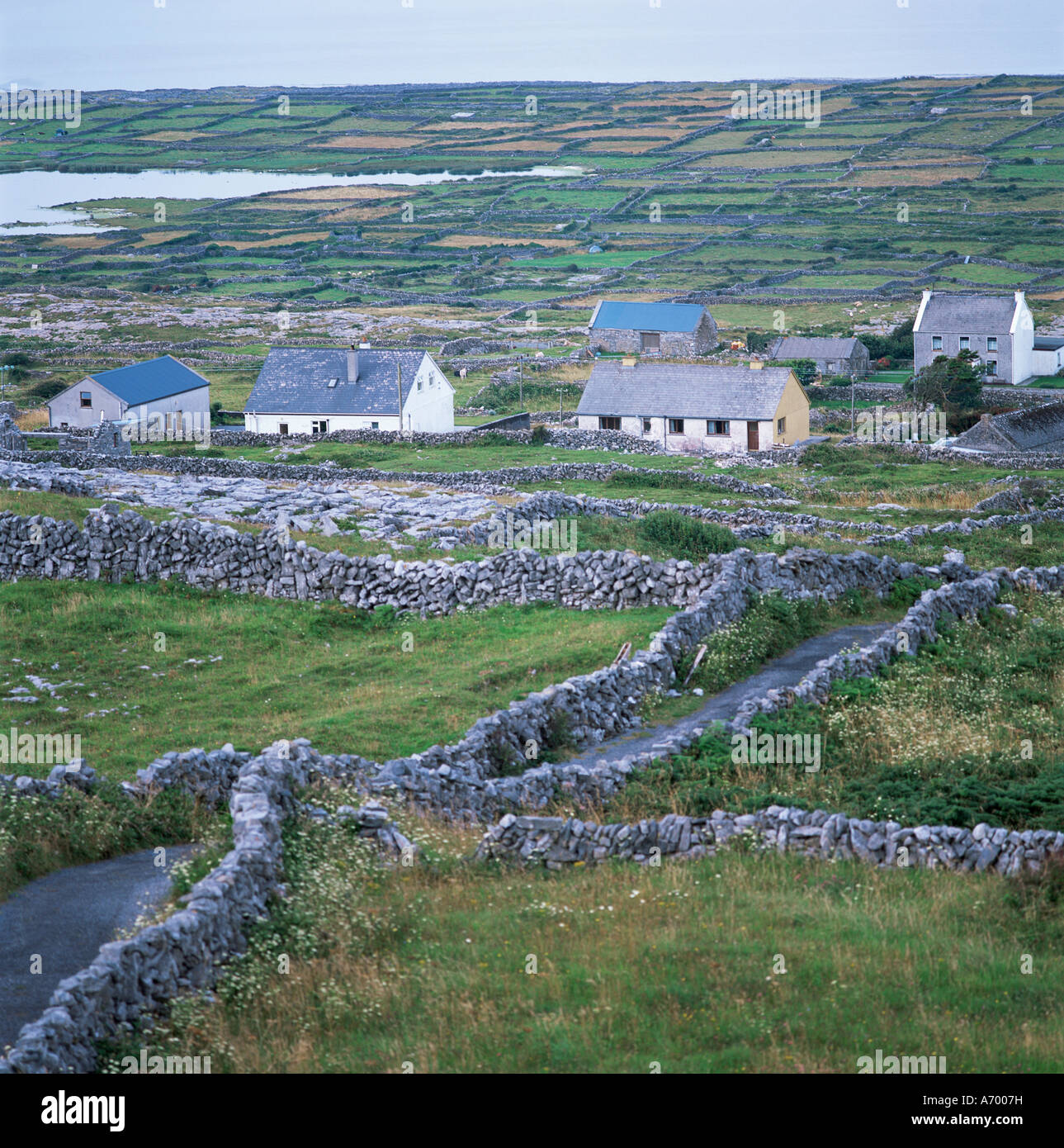 Concentric enclosure in An Carn Mór ThiarConcentric enclosure · 1738 yd
 Castle (in ruins)Castle, unclassified · 1.0 mi
 Quarry in Cashla (aughrim Ed )Quarry · 1.4 mi
 Cregmore Bridgebridge · 2.1 mi
 European BeechEuropean Beech · 3.7 mi
 Aunteen WoodsWood · 4.7 mi
 Leadmine HillMountain / peak · 5.6 mi
 Rabbit IslandIslet · 5.8 mi
 Mechanics InstituteMemorial · 7.0 mi
 Outset GalleryGallery · 7.1 mi
Other information
Photo: Credit not shown in the picture search · Rights wording not checked; contact us if this picture should be removed