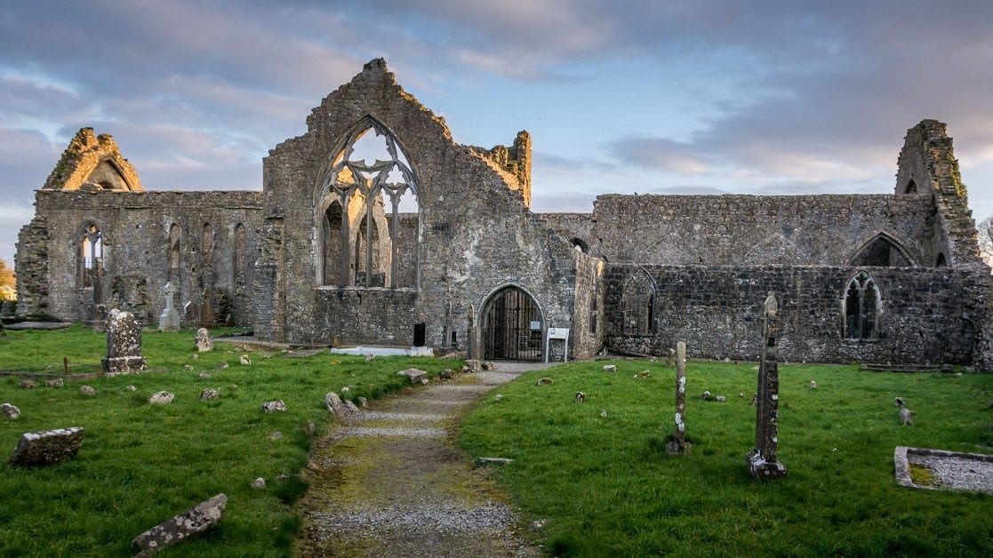
What is recorded here
In low-lying undulating farmland. This poorly preserved subrectangular enclosure (32m N-S; 29m E-W) is defined by a grassed-over stony bank. A possible house site (GA083-020001-) and a structure (GA083-020002-) lie within the interior. (McCaffrey 1952, 113, no. 14) A house (GA083-023----) lies c. 60m to the W.
Compiled by: Galway Archaeological Survey, UCG
Date of upload: 18 February 2019
The monument record does not grant public access. Check the route and ask the landowner before entering private land.
- What survives
- Recorded monument
Places near here
 Cloghmoyle Castle (in ruins)Castle, unclassified · 277 yd
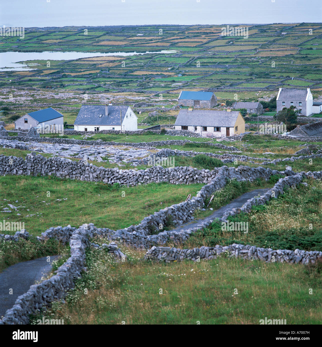 Concentric enclosure in An Carn Mór ThiarConcentric enclosure · 500 yd
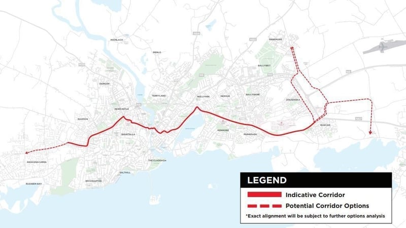 Field system in An Carn Mór ThiarField system · 567 yd
 Quarry in Cashla (aughrim Ed )Quarry · 1.1 mi
 Castle (in ruins)Castle, unclassified · 1.8 mi
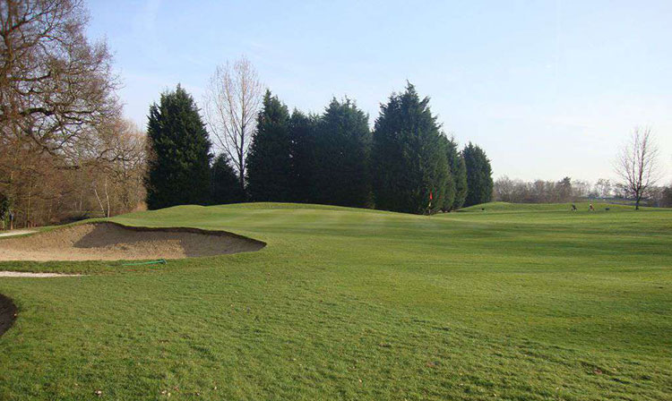 Moor Abbey (in ruins)Religious house, unclassified · 1.8 mi
 European BeechEuropean Beech · 4.4 mi
 Aunteen WoodsWood · 4.7 mi
 Leadmine HillMountain / peak · 5.5 mi
 Rabbit IslandIslet · 5.9 mi
 Ardfry PointHeadland · 7.1 mi
 Mechanics InstituteMemorial · 7.2 mi
Other information
Photo: Credit not shown in the picture search · Rights wording not checked; contact us if this picture should be removed