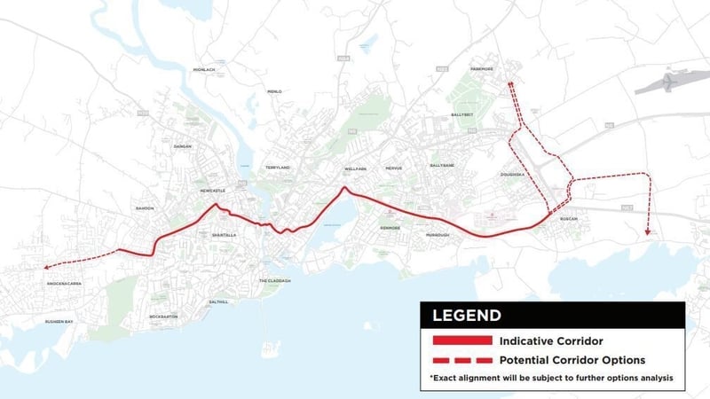
What is recorded here
In an area of pastureland and exposed limestone sloping to the SW. A series of poorly preserved field walls visible on aerial photographs (https://binged.it/2oxnmh0 last accessed 29 March 2017) may be part of a possible field system associated with a concentric enclosure (GA083-079----) and an enclosure (GA083-080----). Though they do not form any coherent pattern a number of meandering and straight lengths of walls are visible over an area c. 300m ENE-WSW by 220m N-S. Most are visible in the field in which the enclosures are located but one stretch is also visible in the field to the N of the concentric enclosure. The walls are defined by spreads of tumbled grass-covered boulders. One section of walling (Wth 2.9m; H 0. 24m) extends southwards (L c. 40m) from the concentric enclosure then veers north-westwards (L c. 100m). Traces of walls also extend from the enclosure at ENE (Wth 2.45m) and SE. Another levelled field wall, running roughly N-S across the field, is visible immediately to its W.
Compiled by: Olive Alcock
Date of upload: 29 March 2017
The monument record does not grant public access. Check the route and ask the landowner before entering private land.
- What survives
- Recorded monument
Places near here
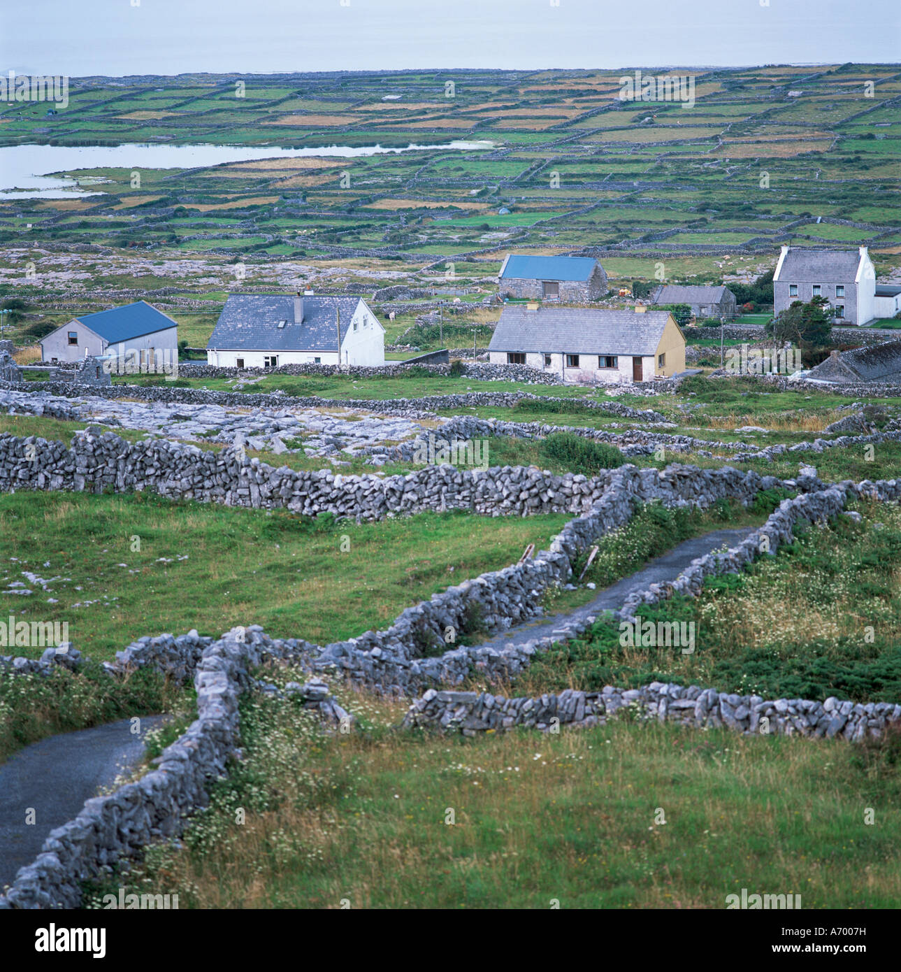 Concentric enclosure in An Carn Mór ThiarConcentric enclosure · 79 yd
 Hut site in An Carn Mór ThiarHut site · 80 yd
 Cloghmoyle Castle (in ruins)Castle, unclassified · 382 yd
 Quarry in Cashla (aughrim Ed )Quarry · 1.4 mi
 Castle (in ruins)Castle, unclassified · 2.0 mi
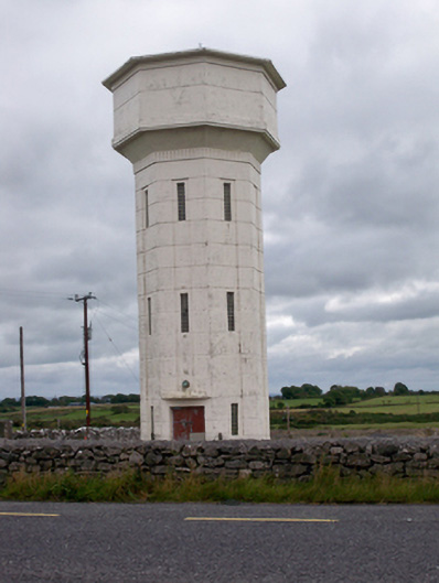 water towerwater tower · 2.0 mi
 Aunteen WoodsWood · 4.5 mi
 Loughaun WoodWood · 4.6 mi
 Leadmine HillMountain / peak · 5.2 mi
 Rabbit IslandIslet · 5.6 mi
 Ardfry PointHeadland · 6.8 mi
 Mechanics InstituteMemorial · 7.0 mi
Other information
Photo: Credit not shown in the picture search · Rights wording not checked; contact us if this picture should be removed