What is recorded here
Thirty metres of green field in County Louth still carries four buried circles, three tangled like ribbon and one set slightly apart. The largest opens southeast through a gap wide enough for carts or dancers, depending how much you believe the land. A forgotten drain cuts across all of them, proving the boundary was never finished in the minds of those who walked it.
Situated on a gently undulating, low-lying landscape. The cropmarks of four enclosures are visible only on Apple Maps (2021). Three of them are intertwined, and the fourth is c. 50m to the NE. This is the most prominent of the intercutting features. It is a circular area (int. diam. c. 25m) defined by a wide fosse (Wth c. 1-3m), with a wide entrance (Wth c. 6m) at SE. The cropmark of an unmapped NE-SW field drain runs through the three enclosures. The complex was first reported by Jean Charles Caillére.
See the attached enhanced view from Apple Maps
Compiled by: Michael Moore
Date of upload: 13 July 2022
The monument record does not grant public access. Check the route and ask the landowner before entering private land.
- What survives
- Recorded monument
Places near here
 Enclosure in AghaboysEnclosure · 22 yd
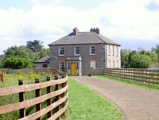 Mount Saint Franceshouse · 188 yd
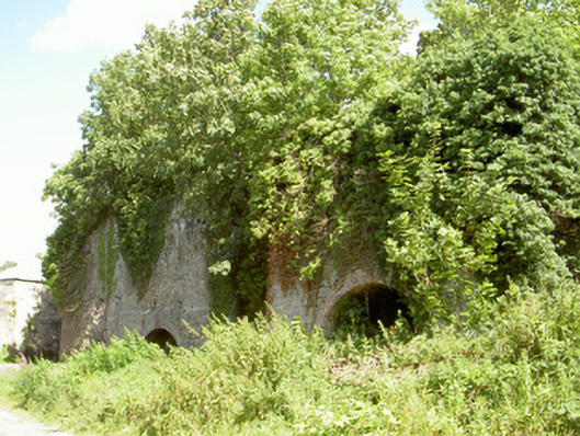 Mount Pleasant Lime Workskiln · 502 yd
 Enclosure in Faughart LowerEnclosure · 931 yd
 Battle of FaughartMajor battlefield · 997 yd
 CastleCastle, tower house · 1.2 mi
 Faughart MoundCastle, motte · 1.2 mi
 Proleek DolmenArchaeological place · 1.2 mi
 MonascreebeMountain / peak · 2.1 mi
 SlievenaboleaMountain / peak · 2.3 mi
 Louth County MuseumMuseum · 2.3 mi
 Soldiers' PointHeadland · 2.3 mi