What is recorded here
Marked as a subrectangular embanked or moated enclosure (ext. dims. c. 70m N-S; c. 45-55m E-W) only on the 1839 ed. of the OS 6-inch map, and situated on a slight SE-facing slope at the headwaters of a small NW-SE stream. It is described as a platform with a dry moat (Wth 2m; D 1.5m) (Barry 1977, 222, WX 72), but it was not visible at ground level in pasture in 1988.
The above description is derived from the published 'Archaeological Inventory of County Wexford' (Dublin: Stationery Office, 1996). In certain instances the entries have been revised and updated in the light of recent research.
Compiled by: Michael Moore
Date of upload/revision: 8 November, 2012
The monument record does not grant public access. Check the route and ask the landowner before entering private land.
- What survives
- Recorded monument
Places near here
 graveyard/cemeterygraveyard/cemetery · 637 yd
 St. Garvans WellHoly well · 898 yd
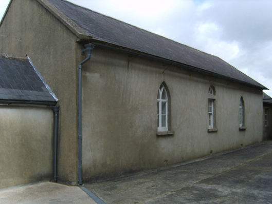 Saint Garvan's Catholic Churchschool · 1395 yd
 Field system in CamarossField system · 1537 yd
 Bawn in Tracystown WestBawn · 1.7 mi
 Camaross HillMountain / peak · 2.5 mi
 Taghmon CastleCastle · 2.6 mi
 Glenour MonumentMemorial · 3.3 mi
 Coolcliffe HouseRuins · 3.7 mi
 Carrickbyrne HillMountain / peak · 3.8 mi
 Carrig-On-BannowVisitor information · 7.5 mi
 1798 MemorialMemorial · 7.5 mi