What is recorded here
Embanked enclosure is a fairy fort or earthen ringfort in Turlagh (athlone North By.), County Roscommon, Ireland. It occupies the NE-facing shoulder of a W-E spur as a circular grass-covered area thirty point four metres across. The remains of an earthen bank define the circle, though the bank disappears on the NE side and no fosse or original entrance remains visible. Three other raths sit within one hundred eighty metres to the WNW, S and ESE.
On the NE-facing shoulder of a W-E spur. Circular grass-covered area (diam. 30.4m NW-SE) defined by the remains of an earthen bank (at SE: Wth 3.7m; int. H 0.2m; ext. H 0.3m) which is not visible N-E. There is no visible fosse or identifiable original entrance. Raths (RO045-037----; RO045-041----; RO045-042----) are c. 180m to the WNW, 110m to the S and 170m to the ESE respectively.
Compiled by: Michael Moore
Date of upload: 24 August 2010
The monument record does not grant public access. Check the route and ask the landowner before entering private land.
- What survives
- Recorded monument
Places near here
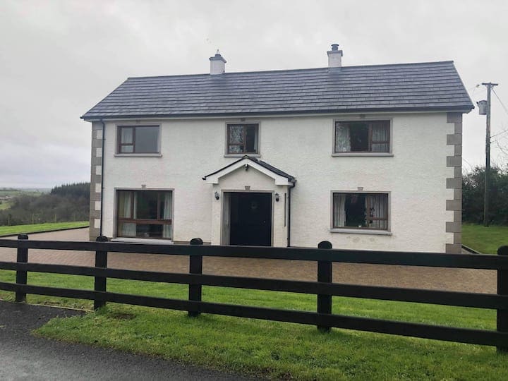 Enclosure in Ballagh (athlone North By.)Enclosure · 1410 yd
 Cloghogle StonePassage tomb · 1747 yd
 CastleCastle, tower house · 1.1 mi
 Scregg Housecountry house · 1.1 mi
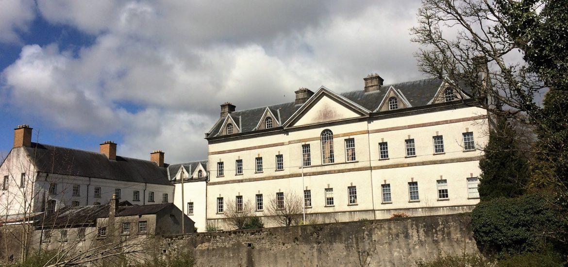 IndicatedCastle, unclassified · 1.4 mi
 InchmoreIslet · 1.5 mi
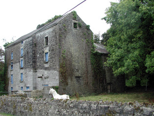 Lecarrow Millmill (water) · 1.8 mi
 InchihicleleyIslet · 1.8 mi
 Hangman's HillMountain / peak · 2.9 mi
 Blackbrink BayBay · 3.2 mi
 Galey BayBay · 3.2 mi
 St. John's WoodWood · 3.9 mi