What is recorded here
On the W-facing crest of a small NW-SE ridge on a broad plateau. Circular grass-covered area (diam. 20.7m N-S; 21.5m E-W) defined by an earthen bank (at S: Wth 4.5m; int. H 0.7m; ext. H 0.9m) incorporated into a field bank with scrub E-S-W and reduced to a scarp (H 0.7m) elsewhere. Three stones from a cist (RO045-048002-) (dims 1.2m x 0.9m; H 0.5-0.7m) are exposed at the centre. Mound barrow (RO045-047----) is c. 75m to the NW.
Compiled by: Michael Moore
Date of upload: 24 August 2010
Embanked enclosure, likely dating to the Late Bronze Age or Early Iron Age. Its significance lies in its association with ritual or territorial demarcation practices in upland landscapes.
The monument record does not grant public access. Check the route and ask the landowner before entering private land.
- What survives
- Recorded monument
Places near here
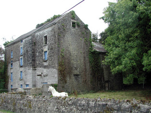 Lecarrow Millmill (water) · 1672 yd
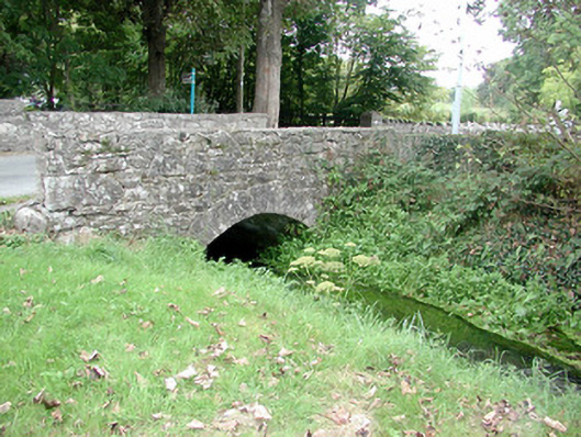 Historic buildingOfficially recorded historic building · 1688 yd
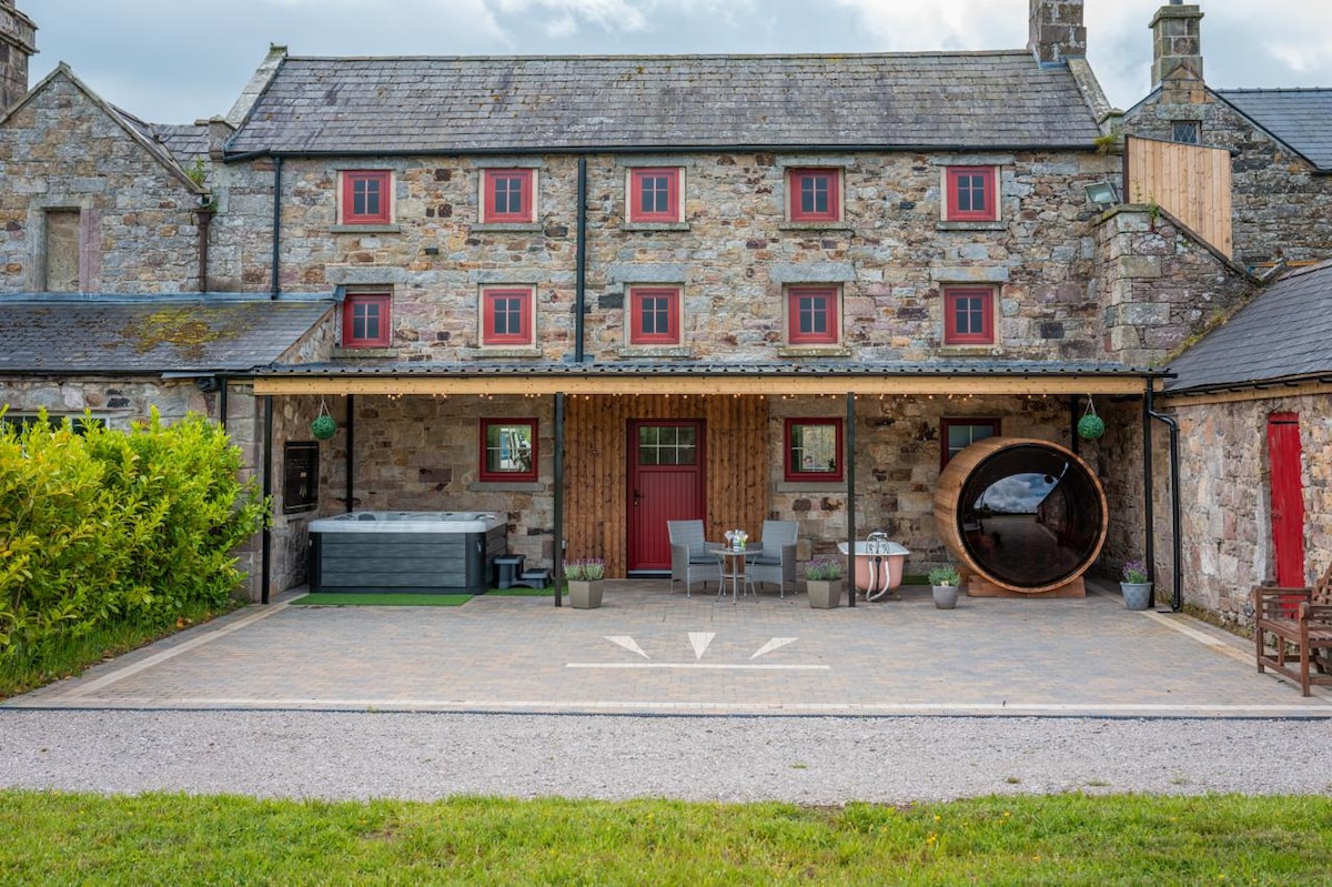 Embanked enclosureFairy fort / earthen ringfort · 1.0 mi
 St. Johns WellHoly well · 1.1 mi
 CastleCastle, tower house · 1.8 mi
 InchmoreIslet · 1.9 mi
 InchihicleleyIslet · 2.1 mi
 Blackbrink BayBay · 2.3 mi
 Galey CastleCastle, tower house · 2.9 mi
 St. John's WoodWood · 2.9 mi
 Carrownure BayBay · 2.9 mi
 Hangman's HillMountain / peak · 3.1 mi