What is recorded here
Marked as an oval embanked enclosure (ext. dims c. 50m E-W; c. 30m N-S) on the 1839 ed. of the OS 6-inch map, it is situated on a slight rise. This is a raised oval mound (dims. c. 50m NW- SE; c. 46m NE-SW) defined by a gentle scarp. It is overlain by a NE-SW field bank towards the perimeter at NW with the site of a bank on the NW side visible as differential growth in a cereal crop.
The above description is derived from the published 'Archaeological Inventory of County Wexford' (Dublin: Stationery Office, 1996). In certain instances the entries have been revised and updated in the light of recent research.
Compiled by: Michael Moore
Date of upload/revision: 21 October, 2013
The monument record does not grant public access. Check the route and ask the landowner before entering private land.
- What survives
- Recorded monument
Places near here
 IndicatedChurchyard · 410 yd
 Silverspring Housegates/railings/walls · 510 yd
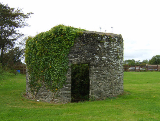 mill (wind)mill (wind) · 890 yd
 Enclosure in GraniskEnclosure · 1322 yd
 CastleCastle, tower house · 1452 yd
 The Heron's MeadowForest · 1597 yd
 The Bull RockForest · 1.0 mi
 1798 Memorial PlaqueMemorial · 1.4 mi
 Ballyrane Castle (in ruins)Castle, tower house · 2.0 mi
 The HamBay · 2.8 mi
 The White Hole BeachBeach / strand · 3.1 mi
 Sigginstown Island (Great)Island · 3.6 mi