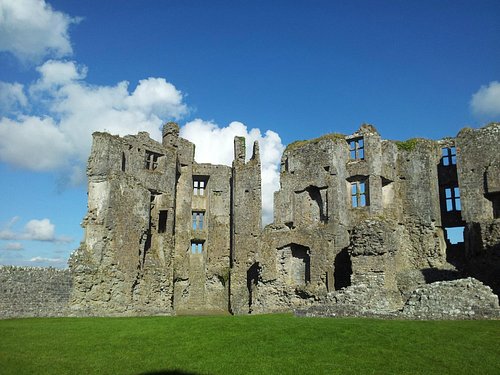
What is recorded here
Embanked enclosure is a fairy fort or earthen ringfort in Rockingham Demesne (boyle By., Rockingham.ed), County Roscommon, Ireland. It occupies a gentle east-facing slope inside a deciduous wood, forming a circular overgrown area thirty-three metres across. A flat-topped earthen bank surrounds the centre, while a flat-bottomed fosse separates it from a raised berm that probably represents a leveled bank. No visible entrance breaks the surrounding earthworks.
On a gentle E-facing slope. Circular overgrown area in a deciduous wood (diam. 33m N-S) defined by a flat-topped earthen bank (Wth 4.9-6m; int. H 0.2m at N to 0.8m at W; ext. H 0.8m at W to 1.3m at S), separated by a flat-bottomed fosse (Wth of top 4.5-5m; D 0.1-0.3m) NW-E from a raised berm (Wth 8.5-9.5m) defined by a scarp (H 0.3-0.4m) that is probably a leveled bank NW-E. There is no visible entrance. Rath (RO006-044----) is c. 55m to the W.
Compiled by: Michael Moore
Date of upload: 24 August 2010
The monument record does not grant public access. Check the route and ask the landowner before entering private land.
- What survives
- Recorded monument
Places near here
 Embanked enclosureFairy fort / earthen ringfort · 114 yd
 Western RedcedarWestern Redcedar · 254 yd
 Rockingham DemesneRuins · 272 yd
 Horse-chestnutHorse-chestnut · 322 yd
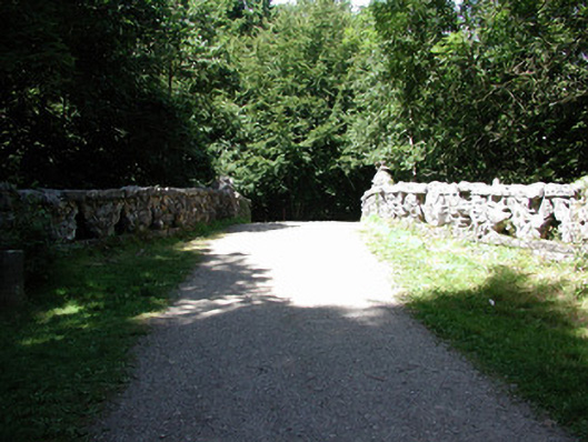 Rockingham Housefoot bridge · 400 yd
 Lough Key Forest ParkWood · 517 yd
 Enclosure in Rockingham Demesne (boyle By., Rockingham.ed)Enclosure · 868 yd
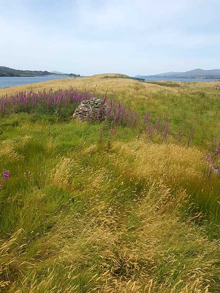 Drummans IslandIsland · 918 yd
 Castle IslandIslet · 950 yd
 Longford HillMountain / peak · 1137 yd
 Erris BayBay · 1342 yd
 Boyle AbbeyHeritage attraction · 2.4 mi
Other information
Photo: Credit not shown in the picture search · Rights wording not checked; contact us if this picture should be removed