
What is recorded here
Embanked enclosure is a fairy fort or earthen ringfort in Rockingham Demesne (boyle By., Rockingham.ed), County Roscommon, Ireland. It occupies the east end of a low ridge in mixed woodland, where a circular earthen bank and outer ditch mark a chamber nearly twenty-seven metres across. A rectangular annexe joins the south perimeter, while two stone-lined causeways cut through the banks at north and southwest. Other raths lie within two hundred metres to the southeast and southwest.
In mixed woodland at the E end of a low E-W ridge. Circular area (diam. 27.1m N-S; 26.9m E-W) defined by a flat-topped earthen bank (Wth 3.7-4.4m; int. H 0.1m at S to 0.7m at W; ext. H 1m at E to 1.7m W-N), which barely survives NNE-S, and an outer flat-bottomed fosse (Wth of top 3.6-4.9m; Wth of base 1.2-2m; D 0.2-0.8m). A berm (at W: Wth 4m) and outer bank (at W: Wth 2.4m; int. H 0.3m; ext. H 0.8m) survive SW-N, and the berm can be traced ENE-SE (at E: Wth 2m) defined by a slight scarp (H 0.3m) or outer bank (at E: Wth 2.4m; int. H 0.3m; ext. H 0.5m). The entrance through the inner bank (Wth 1.6m) and stone-lined causeway (Wth 3.1m) are at N, but there is a secondary entrance through the inner (Wth 0.9m) and outer (Wth 2m) banks at SW.
Attached to the S is a rectangular enclosure or annexe (RO006-041002-) (dims 25.6m ENE-WSW; 23m NNE-SSW at W) defined by a fosse (Wth of top 3m; Wth of base 1.4m; int. D 0.6m; ext. D 0.3m) at E (L 10-14m) and an earthen bank (Wth of base 3.4m; Wth of top 1.2m; int. H 0.3m; ext. H 1.2m) and outer flat-bottomed fosse (Wth of top 4m; Wth of base 1m; D 0.4m) at W. The E end of the perimeter at S does not survive, but there is a stone-lined causeway (Wth 3.8m) towards its W end, and there is an entrnace (Wth 2.8m) and causeway (Wth 3.8m) towards the S end of the perimeter at W.
Raths (RO006-042----; RO006-044----) are c. 200m to the SW and SE respectively.
Compiled by: Michael Moore
Date of upload: 24 August 2010
The monument record does not grant public access. Check the route and ask the landowner before entering private land.
- What survives
- Recorded monument
Places near here
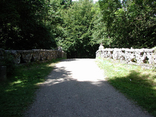 Rockingham Housefoot bridge · 128 yd
 Embanked enclosureFairy fort / earthen ringfort · 265 yd
 Rockingham DemesneRuins · 283 yd
 Western RedcedarWestern Redcedar · 343 yd
 Horse-chestnutHorse-chestnut · 556 yd
 Lough Key Forest ParkWood · 639 yd
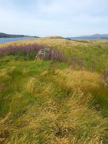 Drummans IslandIsland · 651 yd
 Trinity IslandIslet · 942 yd
 Erris BayBay · 1085 yd
 Enclosure in Rockingham Demesne (boyle By., Rockingham.ed)Enclosure · 1100 yd
 Longford HillMountain / peak · 1417 yd
 Boyle AbbeyHeritage attraction · 2.3 mi
Other information
Photo: Credit not shown in the picture search · Rights wording not checked; contact us if this picture should be removed