What is recorded here
Marked as a circular embanked enclosure (ext. diam. c. 35m E-W), slightly constricted by E-W field banks at N and S, on the 1839 ed. of the OS 6 inch map and as a subrectangular wooded enclosure on the 1941 ed. It is situated on a S-facing slope with the W-E Polehore Pill c. 120m to the S and the N-S River Slaney is c. 500m to the E. This is now a rectangular area (dims. 31m E-W; 29m N S) planted with coniferous trees and defined by a slight bank at N (Wth 1.5m; H 0.5m) and a scarp (H 0.8-1.4m) on the other sides. There is no evidence of a fosse or entrance, but it is probably a rath. Archaeological testing (07E0635) to the W and N of the enclosure failed to produce any material except post-medieval pottery (Colfer 2007).
The above description is derived from the published 'Archaeological Inventory of County Wexford' (Dublin: Stationery Office, 1996). In certain instances the entries have been revised and updated in the light of recent research.
Compiled by: Michael Moore
Date of upload/revision: 14 December, 2012
The monument record does not grant public access. Check the route and ask the landowner before entering private land.
- What survives
- Recorded monument
Places near here
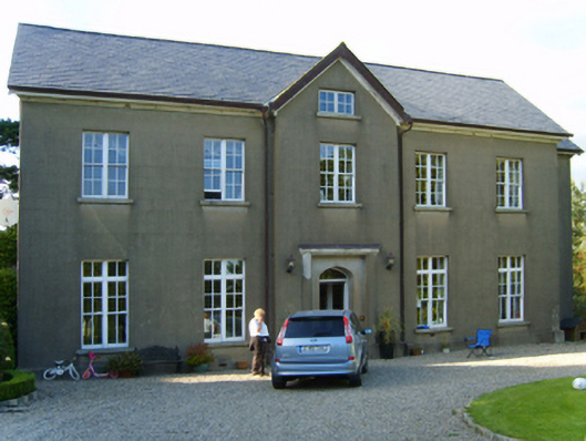 Polehore Housecountry house · 396 yd
 (site of) Polehore CastleCastle, unclassified · 561 yd
 Ballyharran Housefarm house · 960 yd
 (site of) Chapel CaronChurch · 1176 yd
 St. Nicholass WellHoly well · 1266 yd
 Celebrating 125 YearsMemorial · 1.1 mi
 Site of CastleCastle, unclassified · 1.4 mi
 Irish National Heritage ParkHeritage attraction · 1.8 mi
 Fulacht FiadhHeritage attraction · 1.8 mi
 Battle of Three Rocksbattle · 2.0 mi
 Ferrycarrig AmbushMemorial · 2.1 mi
 Carrickshinna RockMountain / peak · 2.8 mi