What is recorded here
Marked as a subrectangular embanked enclosure (ext. dims c. 70m NE-SW; c. 30-40m NW-SE) on the 1839 ed. of the OS 6-inch map, where it is backing onto the SE shore of Bannow Bay at NW. It is located at the bottom of a NW-facing slope and on the SE shore of Bannow Bay. This is a subrectangular scrub-covered area (dims. 53m NE-SW; 30m NW-SE) defined by an earthen bank (Wth 4-5m; H 1.5-1.8m) on all sides except the NW where the perimeter may have been eroded by the sea and where there is now a cliff (H 1.5m). There is no original fosse, but there is an entrance gap (Wth 5.5m) on the SW side.
The above description is derived from the published 'Archaeological Inventory of County Wexford' (Dublin: Stationery Office, 1996). In certain instances the entries have been revised and updated in the light of recent research.
Compiled by: Michael Moore
Date of upload/revision: 23 July 2013
The monument record does not grant public access. Check the route and ask the landowner before entering private land.
- What survives
- Recorded monument
Places near here
 Not idnicatedFairy fort / earthen ringfort · 394 yd
 Castle (in ruins)Castle, unclassified · 920 yd
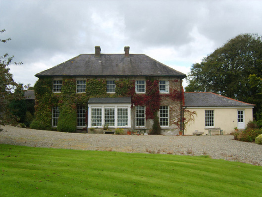 Kiltra Housefarm house · 1673 yd
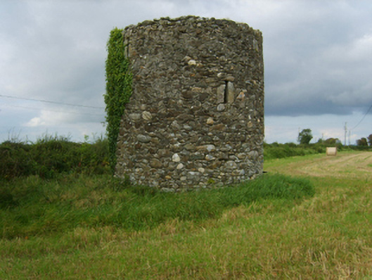 mill (wind)mill (wind) · 1.0 mi
 Enclosure in Haggard (bargy By.)Enclosure · 1.3 mi
 1798 MemorialMemorial · 1.7 mi
 Carrig-On-BannowVisitor information · 1.7 mi
 Bridges ChamberCave · 1.8 mi
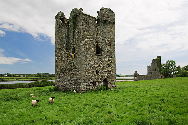 Black Castle (in ruins)Castle, tower house · 1.8 mi
 Blackhall StrandBeach / strand · 1.9 mi
 Saltmills Explosion MemorialMemorial · 2.0 mi
 Ballymadder PointHeadland · 2.2 mi