What is recorded here
Marked as a circular feature (ext. diam. c. 45m N-S; c. 40m E-W) with a bank only on the W side on the 1839 ed. of the OS 6-inch map and as a D-shaped area (dims. c. 32m N-S; c. 25m E-W) truncated on the E side by a N-S field bank on the 1924 ed. of the map. It is situated towards the bottom of a steep W-facing slope and towards the head of a S-N valley. This is a D-shaped overgrown area (dims 32m N-S; c. 25m E-W) defined by a low bank (Wth 4-5.5m; int. H 0.3m; ext. H 1.3-1.6m). There is no visible fosse or entrance. Rath (WX034-010----) is c. 110m to the NW and ringfort (WX034-012----) is c. 110m to the NE. This site has been listed as a moated site (Barry 1977, 225, WX. 91).
The above description is derived from the published 'Archaeological Inventory of County Wexford' (Dublin: Stationery Office, 1996). In certain instances the entries have been revised and updated in the light of recent research.
Compiled by: Michael Moore
Date of upload/revision: 13 September, 2012
The monument record does not grant public access. Check the route and ask the landowner before entering private land.
- What survives
- Recorded monument
Places near here
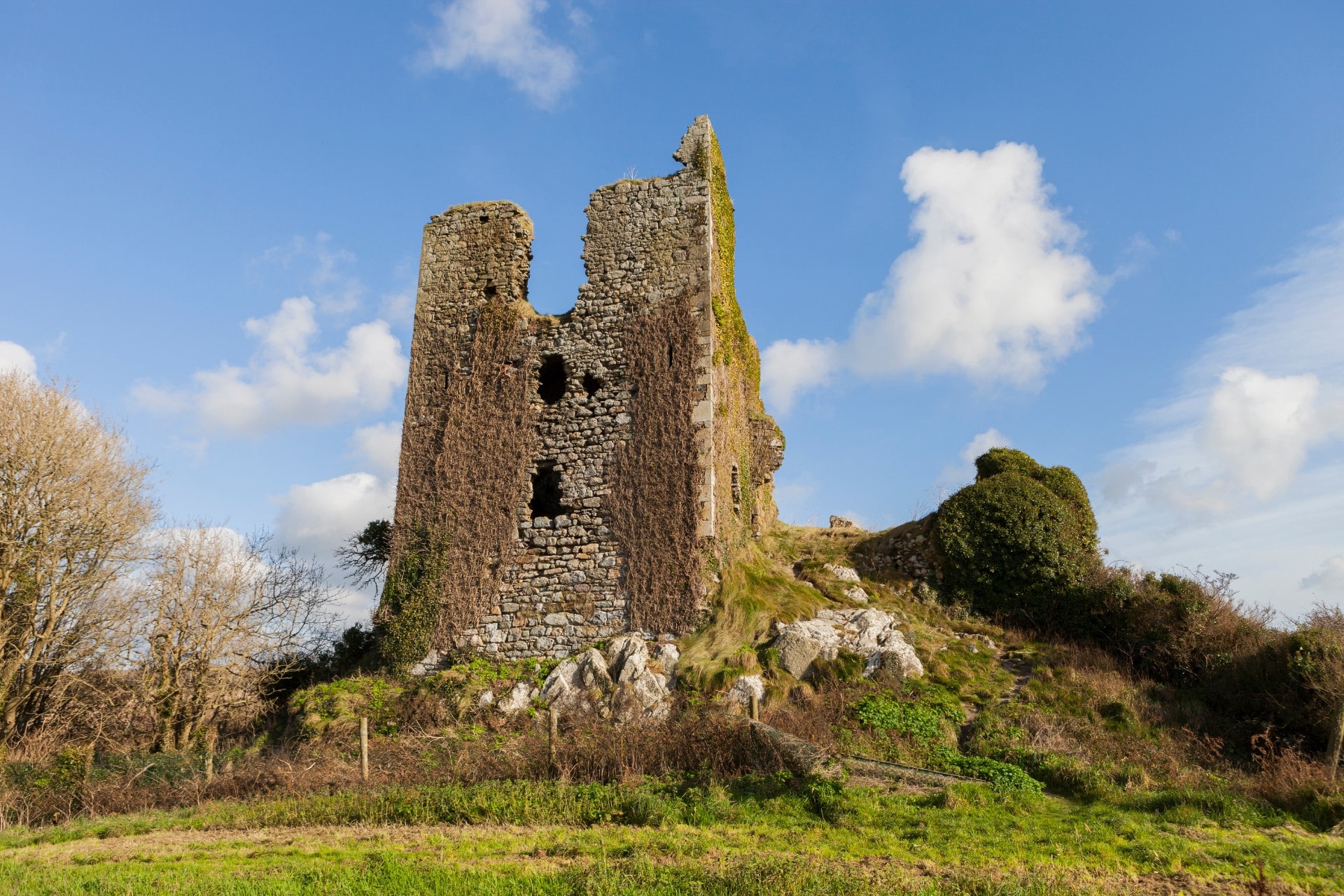 site of CastleCastle, unclassified · 343 yd
 IndicatedEnclosure · 507 yd
 Arnestown Housefarm house · 925 yd
 Embanked enclosureFairy fort / ringfort · 954 yd
 Site of Arnestown CastleCastle, unclassified · 1.1 mi
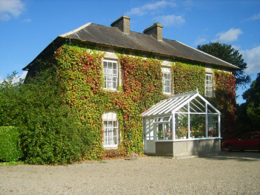 Hillview Housefarm house · 1.3 mi
 Kelly's WoodForest · 2.0 mi
 Crutched FriarsMemorial · 2.4 mi
 Ros Tapestry ExhibitionGallery · 2.5 mi
 Dunbrody Famine Ship Visitor CentreHeritage attraction · 2.5 mi
 O'NeillMemorial · 2.5 mi
 Battle of New Ross (1798)Major battlefield · 2.5 mi