What is recorded here
Located in pasture on the wide, flat plain of the Cappagh valley. Slightly raised and dished circular grass-covered area (diam. 46m N-S; 44.5m E-W) defined by a scarp (H 1-1.3m), with traces of an external fosse (Wth of top 10.5-13.5m; Wth of base 4-6m; max. D 0.3m) SW-N. There is no visible entrance.
The above description is derived from the published 'Archaeological Inventory of County Waterford' (Dublin: Stationery Office, 1999). In certain instances the entries have been revised and updated in the light of recent research.
Compiled by: Michael Moore. Date of upload: 25th August, 2011.
The monument record does not grant public access. Check the route and ask the landowner before entering private land.
- What survives
- Recorded monument
Places near here
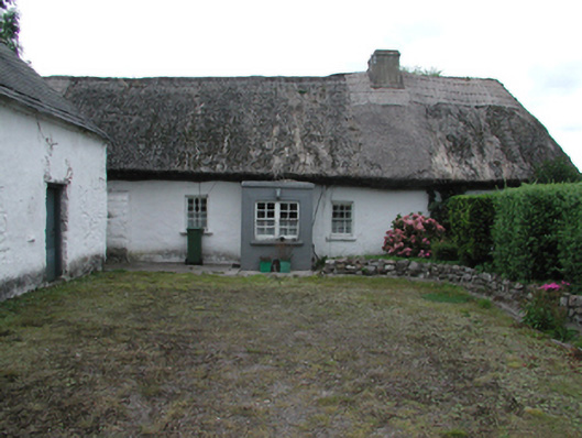 Kilrush Cottagefarm house · 533 yd
 CastleCastle, motte · 1247 yd
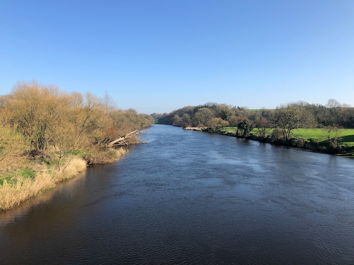 Enclosure in Ballyduff Beg,ballymacmague EastEnclosure · 1432 yd
 Embanked enclosureEnclosure · 1475 yd
 Saint Brigid's Well Brewerygates/railings/walls · 1544 yd
 Grattan SquareVisitor information · 1.2 mi
 Waterford County MuseumMuseum · 1.3 mi
 Castle (in ruins)Castle, unclassified · 1.4 mi
 Dungarvan World War I MemorialMemorial · 1.4 mi
 Master McGrathMemorial · 1.4 mi
 Dungarvan CastleCastle · 1.4 mi
 Cunnigar PointHeadland · 1.8 mi