What is recorded here
Marked as a rectangular embanked enclosure (ext. dims c. 35m NW-SE; c. 20m NE-SW) which is truncated at SW by a NW-SE section of the River Suck on the 1837 ed. of the OS 6-inch map, and situated on the NE bank of the river. Rectangular grass-covered area (dims 21m NW-SE; 8.7m NE-SW) defined by moats at NE (Wth of top 5m; Wth of base 1.3m; int. D 0.8m; ext. D 0.8m) and SW. A berm (Wth 2m) separates the moats from outer moats (Wth 5m; D 0.3m) at NE and SE. The moats do not survive at NW and the platform backs onto the river at SW (max. ext. dims c. 30m NW; 20m NE-SW). There is a shallow flat-bottomed depression (dims 14.6m WNW-ESE; 6.6m NNE-SSW; D 0.2m) in the central platform.
Compiled by: Michael Moore
Date of upload: 29th September, 2010
The monument record does not grant public access. Check the route and ask the landowner before entering private land.
- What survives
- Recorded monument
Places near here
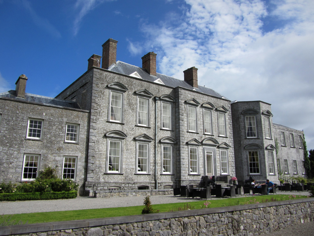 IndicatedFairy fort / earthen ringfort · 1419 yd
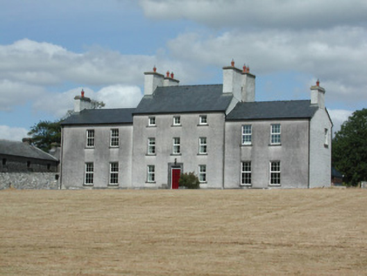 Dundermot Housecountry house · 1526 yd
 EnclosureFairy fort / earthen ringfort · 1647 yd
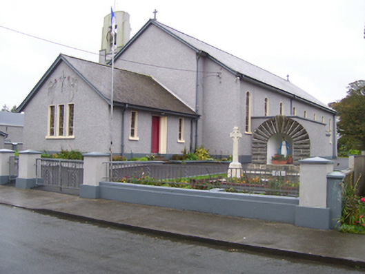 Saint Croan's Catholic Churchchurch/chapel · 1652 yd
 Site of Killomaine Grave YardArchaeological place · 2.2 mi
_-_geograph.org.uk_-_1952978.jpg?width=1280) Bawn in Glinsk (ballymoe By.)Bawn · 2.4 mi
Bawn in Glinsk (ballymoe By.)Bawn · 2.4 mi Site of Ballyglass CastleCastle, unclassified · 2.7 mi
 Rook HillMountain / peak · 4.2 mi
 HawthornHawthorn · 4.3 mi
 Coolougher WoodForest · 6.5 mi
 Mount MaryMountain / peak · 8.3 mi
 Sally IslandIslet · 9.3 mi