
What is recorded here
Located on a steep S-facing slope. Circular scrub-covered area (diam. 42m E-W) defined by an earthen bank (Wth 4-6m; int. H 1m; ext. H 1.3-1.8m) NE-SE and SW-NW, with an outer fosse (Wth of top 8.2m; D 0.6m) SW-NW. The bank is reduced to scarp SE-SW and a scarp down to the interior NW-NE. There is a ramp entrance, probably modern, at SE. An old N-S roadway defined by stone walls bisects the interior.
The above description is derived from the published 'Archaeological Inventory of County Waterford' (Dublin: Stationery Office, 1999). In certain instances the entries have been revised and updated in the light of recent research.
Compiled by: Michael Moore. Date of upload: 25th August, 2011.
The monument record does not grant public access. Check the route and ask the landowner before entering private land.
- What survives
- Recorded monument
Places near here
 Penitential station in Gorteen (decies Without Drum By.)Penitential station · 750 yd
 Horse-chestnutHorse-chestnut · 880 yd
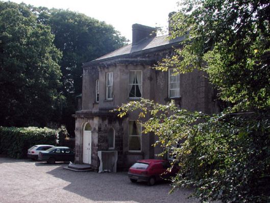 Cloncoskrainehouse · 1694 yd
 Man-made underground passage in Kilnafrehan EastMan-made underground passage · 1.0 mi
 Castle (in ruins)Castle, tower house · 1.1 mi
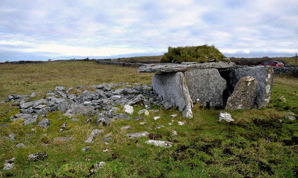 Megalithic structure in BallintoorMegalithic structure · 1.2 mi
 Cloncoskoran Castle (in ruins)Castle, tower house · 1.5 mi
 Deelish MountainMountain / peak · 1.8 mi
 Dungarvan CastleCastle · 2.2 mi
 Dungarvan World War I MemorialMemorial · 2.2 mi
 Grattan SquareVisitor information · 2.3 mi
 Waterford County MuseumMuseum · 2.3 mi
Other information
Photo: Credit not shown in the picture search · Rights wording not checked; contact us if this picture should be removed