What is recorded here
Marked as a circular embanked enclosure (ext. diam. c. 35-40m) on the 1840 ed. of the OS 6-inch map and situated at the crest of a gentle E-facing slope. It is visible as a cropmark (diam. c. 35m) on an aerial photograph (CUCAP, ALS 77), but is not visible at ground level in pasture.
The above description is derived from the published 'Archaeological Inventory of County Waterford' (Dublin: Stationery Office, 1999). In certain instances the entries have been revised and updated in the light of recent research.
Compiled by: Michael Moore.
Date of upload: 19th May, 2011.
The monument record does not grant public access. Check the route and ask the landowner before entering private land.
- What survives
- Recorded monument
Places near here
 Boatstrand BeachBeach / strand · 1066 yd
 Benvoy BeachBeach / strand · 1552 yd
 EntrenchmentPromontory fort, coastal · 1566 yd
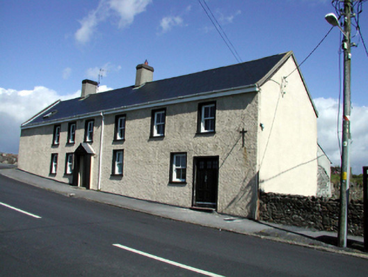 Seaview Househouse · 1.1 mi
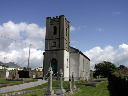 Church of Saint John the Baptist (Dunhill)church/chapel · 1.1 mi
 Annestown monumentMemorial · 1.3 mi
 Lime KilnVisitor information · 1.4 mi
 St. Bernard's WellSpring · 1.5 mi
 St. Martin's WellSpring · 1.5 mi
 Dunhill CastleCastle · 1.8 mi
 Castle (in ruins)Castle, tower house · 1.8 mi