What is recorded here
Embanked enclosure is a fairy fort or earthen ringfort in Kilmore (castlereagh By.), County Roscommon, Ireland. A circular embanked enclosure appeared on the 1837 Ordnance Survey map, while Gannon measured a subcircular earth and stone bank in 1972. Quarrying has since removed the visible remains, leaving only the abandoned stone circle and the separate earthwork ninety metres to the southwest.
Marked as a circular embanked enclosure (ext. diam. c. 25m) on the 1837 ed. of the OS 6-inch map, and situated on the crest of a the SE-facing slope of NW-SE ridge. Described as a subcircular area (dims 27m E-W; 20m N-S) defined by an earth and stone bank (Gannon 1972), it is not now visible at ground level in an area of quarrying. Earthwork (RO026-002----) is c. 90m to the SW.
Compiled by: Michael Moore
Date of upload: 24 August 2010
The monument record does not grant public access. Check the route and ask the landowner before entering private land.
- What survives
- Recorded monument
Places near here
 Embanked enclosureFairy fort / stone ringfort · 381 yd
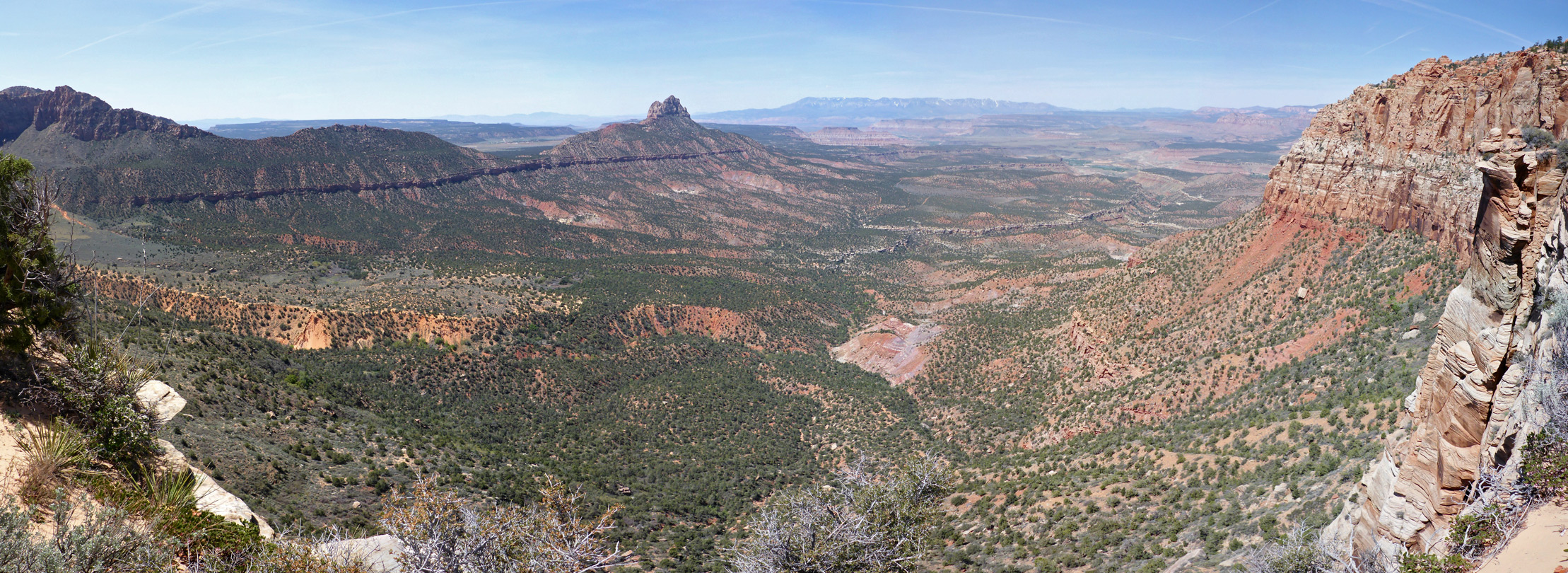 Enclosure in Mountain LowerEnclosure · 1.5 mi
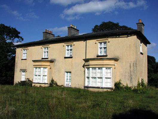 Cashlieve Housecountry house · 2.2 mi
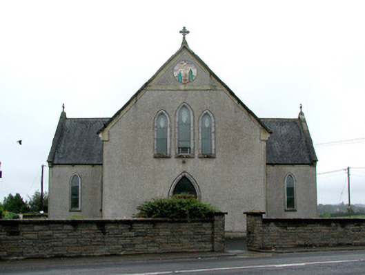 Catholic Church of the Immaculate Conceptionchurch/chapel · 2.4 mi
 Coolougher WoodForest · 2.7 mi
 Clonalis HouseMuseum · 3.8 mi
 TowerCastle, tower house · 4.1 mi
 CastleCastle, unclassified · 4.4 mi
 Druminagh WoodForest · 5.3 mi
 Fairymount HillMountain / peak · 6.8 mi
 Slieve DartMountain / peak · 8.3 mi
 Site of Killomaine Grave YardArchaeological place · 11 mi