What is recorded here
Situated on a gentle SW-facing slope, with a SE-NW stream c. 110m to the SW. This is now a D-shaped grass-covered area (diam. 36m N-S; 35m E-W) defined by an earthen bank (Wth c. 4m; int. H 0.3-0.9m; ext. H 0.7m-1.2m) with a straight side (L 23m) at SE defined by a low scarp (H 0.2m) where the bank has been removed. There is no visible fosse or entrance. The possible rath (WX011-004----) is c. 50m to the ENE.
The above description is derived from the published 'Archaeological Inventory of County Wexford' (Dublin: Stationery Office, 1996). In certain instances the entries have been revised and updated in the light of recent research.
Compiled by: Michael Moore
Date of upload/revision: 11 April, 2012
This remains an important historical record, but the official description says the monument is no longer visible or has been destroyed. The monument record does not grant public access. Check the route and ask the landowner before entering private land.
- What survives
- No visible remains or recorded as destroyed
Places near here
 Church in Killowen (gorey By.)Church · 640 yd
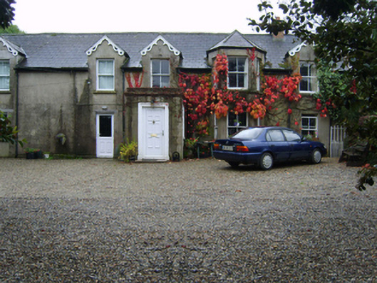 Glandoran Housefarm house · 1439 yd
 Fulacht fia in Moneycross UpperFulacht fia · 1.6 mi
 Field system in Moneycross UpperField system · 1.7 mi
 Gorey HillMountain / peak · 2.2 mi
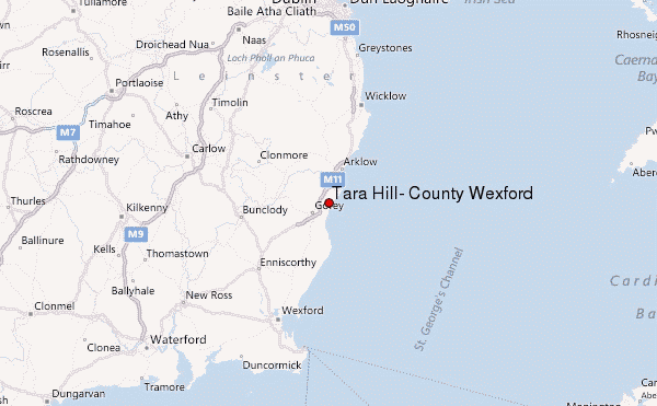 Ballyminaun HillMountain / peak · 2.5 mi
 1798 MonumentMemorial · 2.7 mi
 Barnadown WoodWood · 3.0 mi
 Market HouseHeritage attraction · 3.1 mi
 Ballingarry WoodForest · 3.2 mi
 Saint Brigid's WellSpring · 3.9 mi
 Blue SchoolMemorial · 4.7 mi