What is recorded here
Situated on the lower N-facing slope of Black Rock Mountain, overlooking the W-E River Clody, with the stream c. 500m to the N and c. 80m lower. This is a circular grass-covered area (diam. 46m N-S; 44m E-W) altered to the S of a dividing E-W field bank and townland boundary where it is defined by earthen bank in 5 straight sections (L 13m to 17m) in Mandoran townland. N of the field bank the rath is defined by the remains of an earthen bank (Wth 1.5-2.5m; ext. H 1m) W-N-E, with internal and external stone cladding at WNW and NNE-E. There is an external fosse (Wth 3.5m; D 1m) and outer field bank W-N. There is a low cairn (diam. c. 10m) at the centre, but the original entrance cannot be identified.
The above description is derived from the published 'Archaeological Inventory of County Wexford' (Dublin: Stationery Office, 1996). In certain instances the entries have been revised and updated in the light of recent research.
Compiled by: Michael Moore
Date of upload/revision: 5 April, 2012
The monument record does not grant public access. Check the route and ask the landowner before entering private land.
- What survives
- Recorded monument
Places near here
 John's HillMountain / peak · 1.3 mi
 Cross in Kilbrannish SouthCross · 1.3 mi
 St Bridget's WellSpring · 1.4 mi
 Site of Clonmullen CastleCastle, unclassified · 1.4 mi
 Black Rock MountainMountain / peak · 1.4 mi
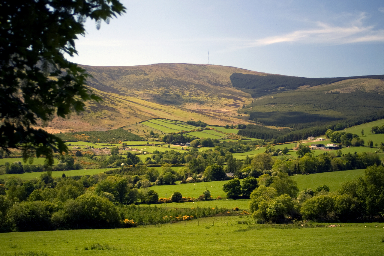 Enclosure in Kilbrannish North,kilbrannish SouthEnclosure · 1.5 mi
 Carrickduff WoodWood · 2.0 mi
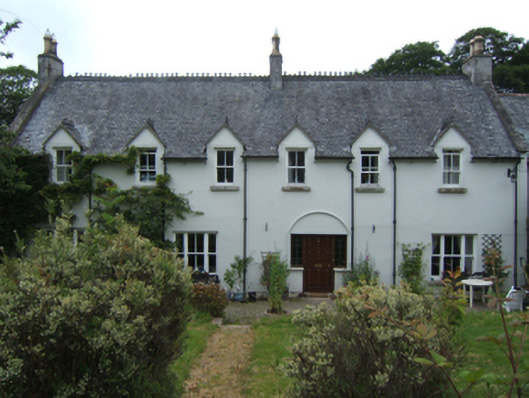 Mill Housefarm house · 2.2 mi
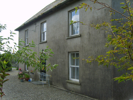 Cromoge Housefarm house · 2.4 mi
 Common LimeCommon Lime · 2.7 mi
 Bunclody 1798 Bicentenary MemorialMemorial · 2.7 mi
 1798 rebellion Battle of Newtownbarry (AKA Bunclody) commemorative plaqueMemorial · 2.8 mi