What is recorded here
Marked as a rectangular embanked or moated enclosure (ext. dims c. 60m N-S; c. 60m E-W) on the 1839 ed. of the OS 6-inch map. Is situated at the W edge of a plateau that slopes down slightly to a N-S stream c. 80m to the W. This is a rectangular grass-covered area (dims. 44m N-S; 43m E-) defined by back-illed moats (Wth 6-3m; D 0.2-.6m), the outer edges of which are marked by field banks and hedges with a N-S farm lane on the E side (ext. dims 65.5m N-S; 59m N-S). (Barry 1977, 222, WX 74)
The above description is derived from the published 'Archaeological Inventory of County Wexford' (Dublin: Stationery Office, 1996). In certain instances the entries have been revised and updated in the light of recent research.
Compiled by: Michael Moore
Date of upload/revision: 20 August, 2013
The monument record does not grant public access. Check the route and ask the landowner before entering private land.
- What survives
- Recorded monument
Places near here
 farm housefarm house · 75 yd
 mill (water)mill (water) · 121 yd
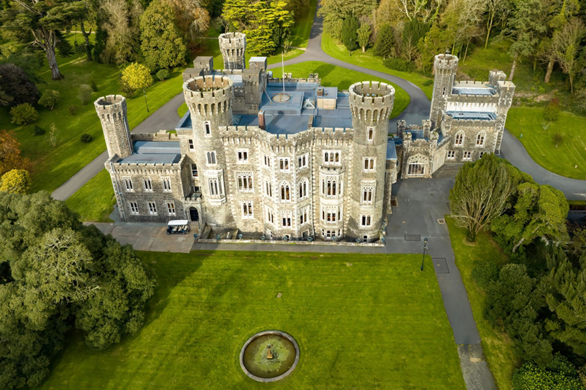 CastleRuins · 130 yd
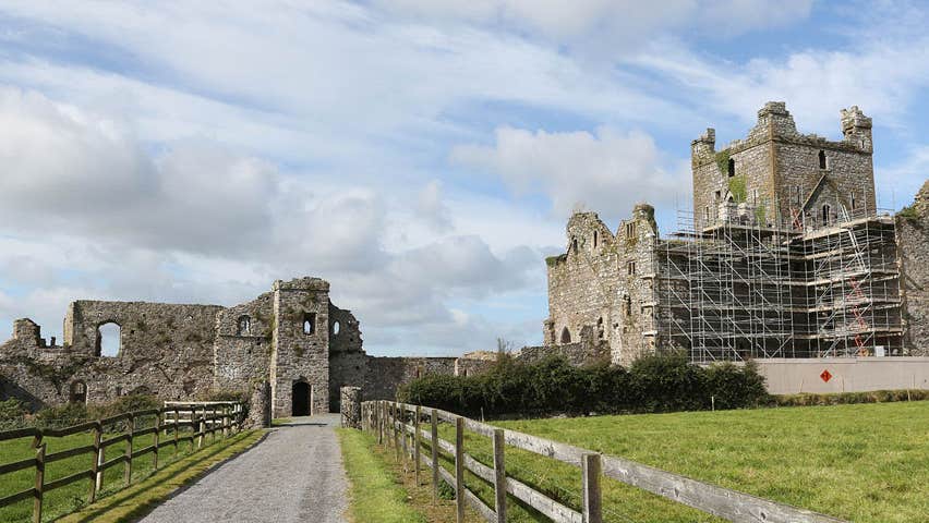 Castle (Site of)Castle, unclassified · 189 yd
 Field system in Newhouse (bargy By.)Field system · 1294 yd
 Enclosure in RalphtownEnclosure · 1482 yd
 Cull IslandIsland · 2.7 mi
 Ballyteigue BurrowNature reserve · 3.4 mi
 Ivan Sutton Art ExhibitionGallery · 4.0 mi
 Memorial Trail & Garden in Honour of Those Lost at SeaMemorial · 4.1 mi
 Kilmore Quay - Crehen Twinning MemorialMemorial · 4.1 mi
 Whale boneHeritage attraction · 4.1 mi