What is recorded here
In pasture, located in the level base of a broad natural depression ringed by rising ground. The Ballygawley Mountains form a dramatic backdrop on the horizon at N-NE. A circular area (45m E-W) enclosed by a broad earth and stone bank (Wth 5.5m; int. H 0.7m; ext. H 0.7m) with the remains of stone kerbing along the internal bank face along the E arc. The entrance (Wth 9m) is at E. A field boundary curves around the bank along the NE arc.
There is a mound barrow (SL021-102---) 300m to NE and a portal tomb (SL021-058----) 380m to NNE.
The above description is derived from the published 'Archaeological Inventory of County Sligo' compiled by Ursula Egan, Elizabeth Byrne, Mary Sleeman with Sheila Ronan and Connie Murphy (Dublin Stationery Office, 2005).
Attached images:
SL021-051----_01.JPG Viewed from SE
SL021-051----_02.JPG Viewed from E
SL021-051----_03.JPG Enclosing bank at E
Date of revised upload: 29 November 2018
The monument record does not grant public access. Check the route and ask the landowner before entering private land.
- What survives
- Recorded monument
Places near here
 CastleCastle, motte · 289 yd
 Cross in KilrossCross · 437 yd
 Giants GraveArchaeological place · 465 yd
 Grave Yd.Graveyard · 496 yd
 Castle (in Ruins)Castle, tower house · 1185 yd
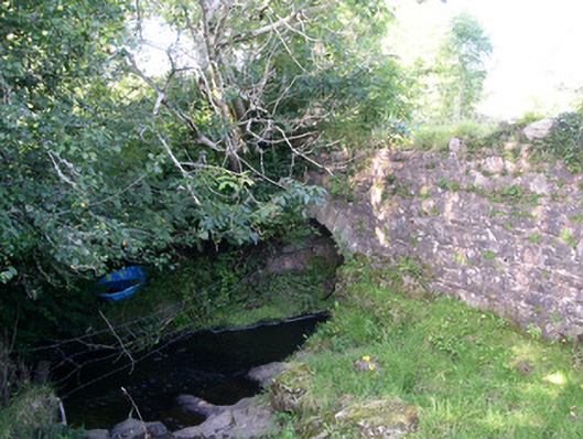 Lurgan Bridgebridge · 1195 yd
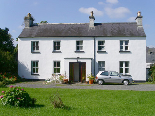 Arnasbrack Househouse · 1330 yd
 Field MapleField Maple · 1.9 mi
 European ashEuropean ash · 2.2 mi
 Battle of Collooneybattle · 3.0 mi
 Teeling MonumentMemorial · 3.0 mi
 Bunowen BayBay · 3.3 mi