What is recorded here
Situated towards the top of a gentle N-facing slope and towards the head of a SE-NW valley. It overlooks a bend in the N-S Lickey River c. 500m to the N at a point where it turns W. This is a circular scrub-covered area (diam. 35m E-W; 35m N-S) defined by an overgrown earth and stone bank (Wth 4-5m; int. H 0.3-0.4m; ext. H 1.4-2m). There is no visible fosse, or identifiable original entrance, but a modern entrance (Wth 3.1m) has been made at ENE where spoil has been added to the bank.
The above description is derived from the published 'Archaeological Inventory of County Waterford' (Dublin: Stationery Office, 1999). In certain instances the entries have been revised and updated in the light of recent research.
Date of upload/revision: 10th Ocbober, 2011
Compiled by: Michael Moore
A local fairy fort (ringfort/rath); wider significance not recorded.
The monument record does not grant public access. Check the route and ask the landowner before entering private land.
- What survives
- Recorded monument
Places near here
 Burial GroundBurial ground · 460 yd
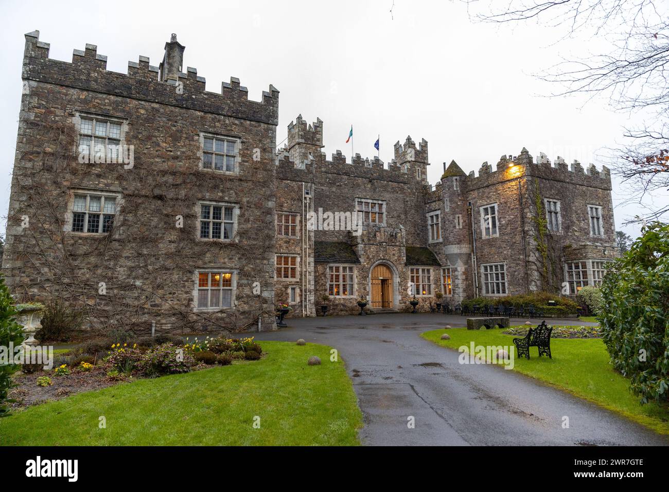 Embanked enclosureFairy fort / earthen ringfort · 1147 yd
 RoadRoad, road/trackway · 1.1 mi
 Catholic Church of Our Lady of the Assumptionchurch/chapel · 1.2 mi
 Clashmore Heritage CentreHeritage attraction · 3.2 mi
 Kilmaloo LoughWood · 3.3 mi
 Castle (in ruins)Castle, tower house · 3.4 mi
 Cabin PointHeadland · 4.9 mi
 D'Loughtane WoodForest · 4.9 mi
 St Bridget's WellSpring · 5.1 mi
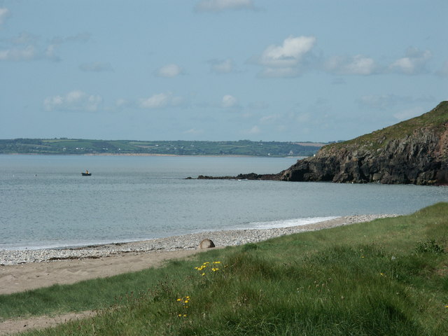 Caliso BayBeach / strand · 5.1 mi
 Ferry PointViewpoint · 5.4 mi