What is recorded here
Towards the top of a SE-facing slope of Lackan Hill. Circular grass-covered area (diam. 42m NE-SW; 41m NW-SE) defined by an earthen bank (Wth 4-4.5m; int. H 0.95-1.2m; ext. H 2.3-2.6m) with some scrub and inner facing-stones separated by a fosse (Wth of top 5.5-6.4m; Wth of base 2-2.3m; D 1.2-1.6m) from an outer grass-covered bank (Wth 3.4-3.9m; ext. H 0.65-0.8m) with some outer facing-stones, which is incorporated into a field bank ENE-SSW. There is a modern entrance at SSW, but the original entrance (Wth 2.4m) and causeway (Wth 4.4m) are at SE (max. ext. diam. 59.3m NE-SW).
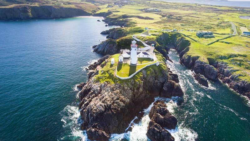
See the attached aerial view taken from the W
Compiled by: Michael Moore
Date of upload: 24 August 2010
The monument record does not grant public access. Check the route and ask the landowner before entering private land.
- What survives
- Recorded monument
Places near here
 Embanked enclosureFairy fort / earthen ringfort · 995 yd
 IndicatedFairy fort / earthen ringfort · 1254 yd
 CastleCastle, unclassified · 1619 yd
 Church in SkrineChurch · 1.2 mi
.png) Church (in Ruins)Church · 1.6 mi
Church (in Ruins)Church · 1.6 mi Castle (Site of)Castle, unclassified · 2.1 mi
 InchmoreIslet · 2.9 mi
 TogherfinnForest · 3.1 mi
 InchihicleleyIslet · 3.3 mi
 Hangman's HillMountain / peak · 3.5 mi
 European Crab AppleEuropean Crab Apple · 3.6 mi
 Galey BayBay · 4.7 mi