
What is recorded here
On a rise on the floor of and at the head of a slight W-E valley. Circular grass-covered platform (diam. 29m N-S; 27m E-W) defined by scarps (H 1.3m at W to 2.6m at S), with some stones on the scarp at S. There is no visible bank, fosse or entrance, but the perimeter has been removed by grass-covered quarries E-S. A fosse or natural depression (Wth of top 13.3m; Wth of base 5m; D at W 1.1m; D at E 1.3m) separates this site from rath (RO022-061001-) to the W.
Compiled by: Michael Moore
Date of upload: 24 August 2010
This remains an important historical record, but the official description says the monument is no longer visible or has been destroyed. The monument record does not grant public access. Check the route and ask the landowner before entering private land.
- What survives
- No visible remains or recorded as destroyed
Places near here
 Enclosure in Boyanagh (roscommon By., Cloonyquin Ed)Enclosure · 833 yd
 Lissabully FortFairy fort / earthen ringfort · 1086 yd
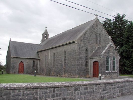 Saint Catherine's Catholic Churchchurch/chapel · 1.1 mi
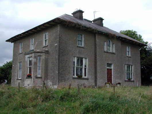 Rossmore Househouse · 1.2 mi
 War of Independence Commemorative Military MemorialMemorial · 2.3 mi
 CastleCastle, unclassified · 2.3 mi
 Cruachan Aí Heritage CentreMuseum · 2.4 mi
 European ashEuropean ash · 2.7 mi
 ToberagullaSpring · 2.7 mi
 CastlerubyCastle, unclassified · 3.9 mi
 Sweet ChestnutSweet Chestnut · 6.6 mi
 Silver IslandIslet · 9.3 mi
Other information
Photo: Credit not shown in the picture search · Rights wording not checked; contact us if this picture should be removed