What is recorded here
On a broad hill c. 600-700m from the river Suck. Circular grass-covered area (diam. 53.5m NNE-SSW; 50m WNW-ESE) defined by an earthen bank and hedge, best preserved at S (Wth 7m; int. H 1.45m; ext. H 2.7m) but reduced to a scarp NNW-E-SSE. An outer fosse (Wth of top 7.4m; Wth of base 2.6m; D 0.45m) is visible SE-SW, and the entrance (Wth 2.3m) is at SSE.
Compiled by: Michael Moore
Date of upload: 24 August 2010
The monument record does not grant public access. Check the route and ask the landowner before entering private land.
- What survives
- Recorded monument
Places near here
 Enclosure in Feevagh MoreEnclosure · 1.2 mi
 Country house in DalysgroveCountry house · 1.4 mi
 Daly's Groveoutbuilding · 1.4 mi
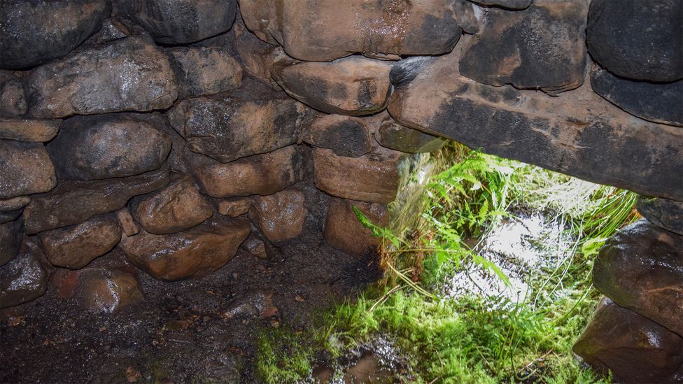 Sweathouse in ArdcolmanSweathouse · 1.5 mi
 Inch IslandIsland · 1.9 mi
 LismoneyForest · 2.8 mi
 CastleCastle, unclassified · 3.1 mi
 Killeglan CastleCastle, unclassified · 3.2 mi
 Clooncoran IslandIsland · 3.7 mi
 Sheep HillMountain / peak · 4.1 mi
 European ashEuropean ash · 5.1 mi
 Urraghry HillMountain / peak · 9.0 mi