What is recorded here
Embanked enclosure is a fairy fort or earthen ringfort in Dergraw, County Roscommon, Ireland. It stands on a drumlin as a D-shaped overgrown area measuring 31 metres northwest-southeast and 26 metres northeast-southwest. An earthen bank forms the northern edge while a scarp defines the rest, surrounded by an outer fosse on the west, north and east. A separate rath attaches to the southeast but remains divided by a field bank and drain.
On top of a drumlin. D-shaped overgrown area (dims 31m NW-SE; 26m NE-SW) defined by an earthen bank (Wth 3.5-4m; int. H 0.2-0.5m; ext. H 0.7-1m) at N and a scarp (H 0.5-0.65m) elsewhere, with an outer fosse (Wth of top 4-5m; D 0.2m generally to 0.65m at E) W-N-E. Rath (RO07-046002-) is attached to the SE, but separated from it by a NE-SW field bank and drain. It is unplanted in mixed woodland (Bing c. 2013).
Compiled by: Michael Moore
Date of revised upload: 27 May 2015
The monument record does not grant public access. Check the route and ask the landowner before entering private land.
- What survives
- Recorded monument
Places near here
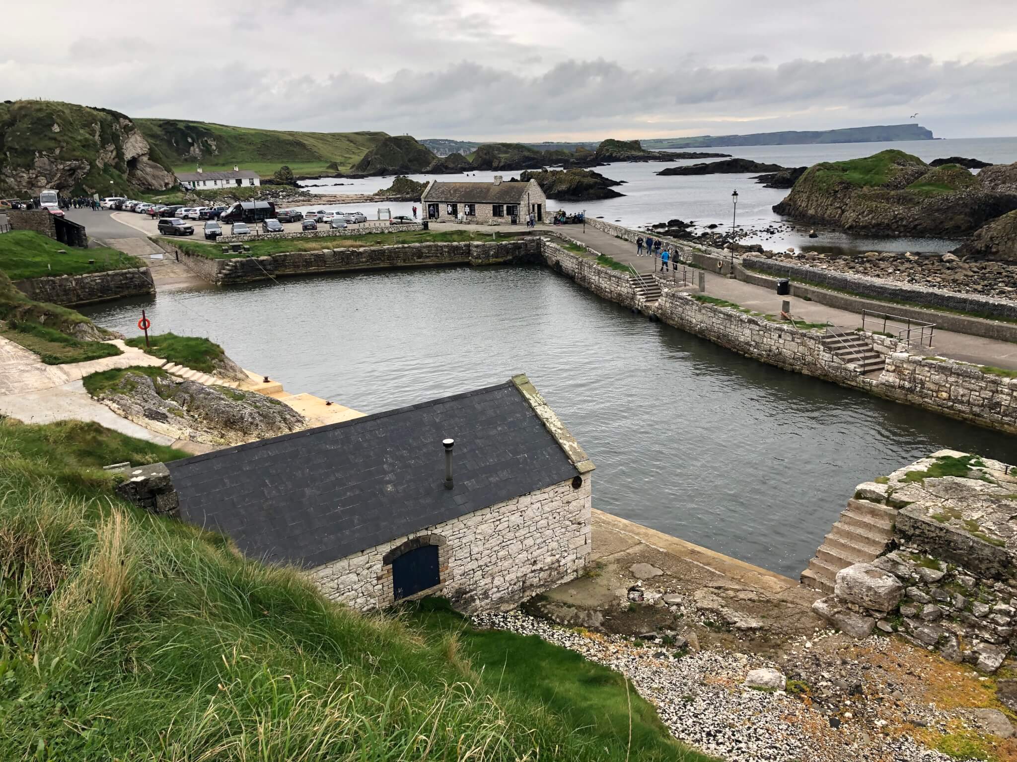 Embanked enclosureFairy fort / stone ringfort · 482 yd
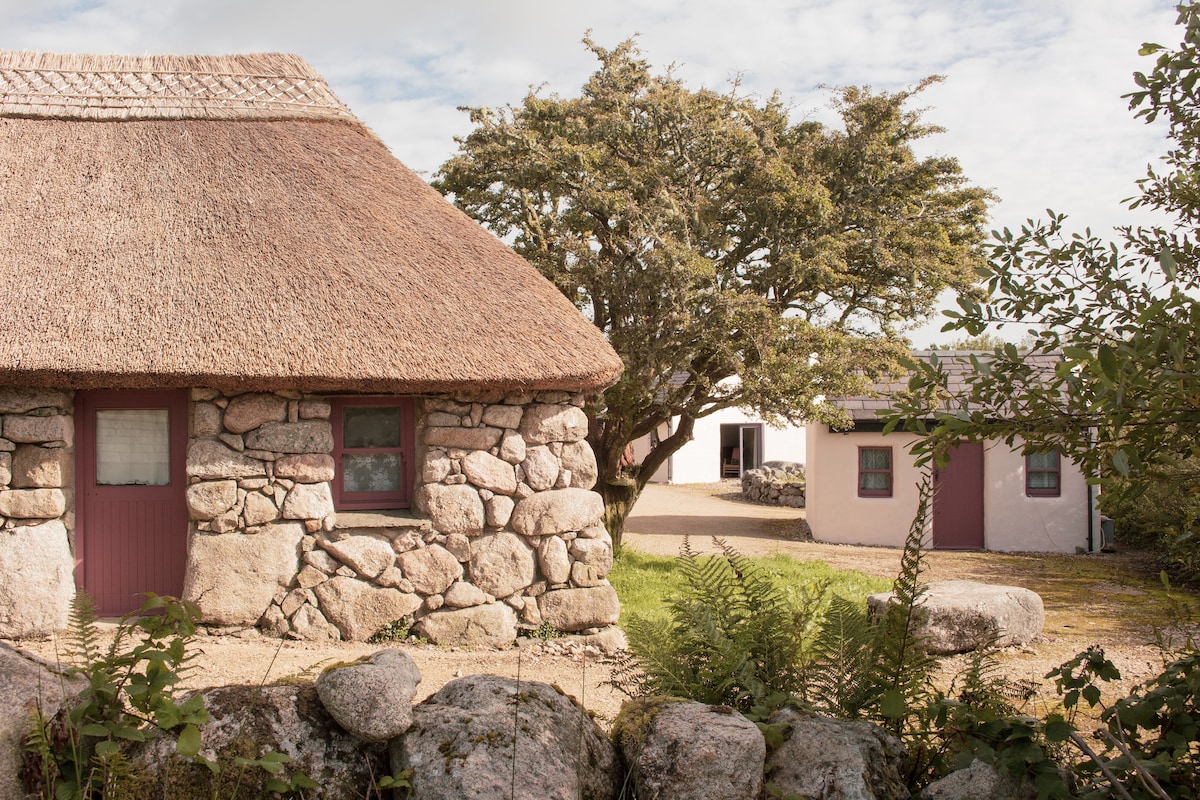 Enclosure in Cloonfad (boyle By.)Enclosure · 1316 yd
 Killeen ChurchChurch · 1.1 mi
 Battle of Áth an Chipbattle · 1.2 mi
 PortCastle, unclassified · 1.4 mi
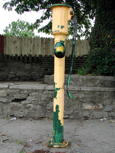 water pumpwater pump · 1.6 mi
 Sit of Breifny CastleCastle, tower house · 1.7 mi
 Shannon-Erne WaterwayVisitor information · 1.7 mi
 InishnagonIsland · 1.9 mi
 Hughestown WoodForest · 2.6 mi
 Moon RiverHeritage attraction · 3.1 mi
 Derreenargan WoodWood · 3.3 mi