What is recorded here
On a low-lying landscape. Subcircular platform (dims 34m N-S; 31.3m E-W) with a single mature deciduous tree at the centre while the rest is planted with coniferous trees, defined by a scarp (H 1.15m at W to 2m at N). It is separated by a flat-bottomed fosse (Wth of top 8.7-11m; Wth of base 2.5m generally to 5.4m at S; D 0.4m at S to 1.75-2m W-N) from an outer bank (Wth 6.7- 6.9m; ext. H 0.35m at W to 0.8m at N) SW-N-NE (max. ext. diam. 59m N-S). The fosse is utilised by a disused avenue NE-S-SW which led to Croghan House, c. 250m to the S, and there is a gap (Wth of base 1.8m), which is probably modern, in the outer bank at NNW. (Knox 1911, 96)
Compiled by: Michael Moore
Date of upload: 24 August 2010
Embanked enclosure, likely dating to the Late Bronze Age or Early Iron Age. Its central tree and scarp-defined platform suggest ritual or ceremonial significance, possibly linked to territorial or funerary practices.
The monument record does not grant public access. Check the route and ask the landowner before entering private land.
- What survives
- Recorded monument
Places near here
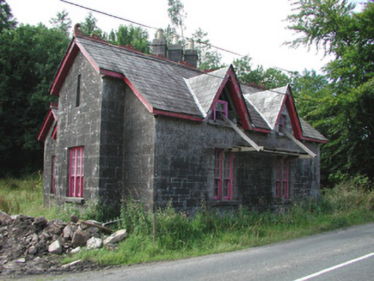 Croghan Schoolschool · 310 yd
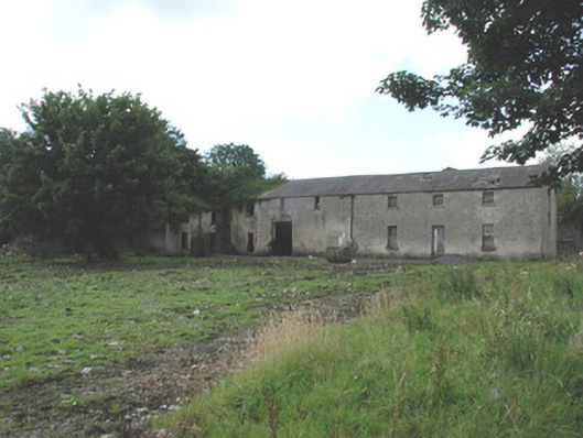 Croghan Houseoutbuilding · 371 yd
 IndicatedEnclosure · 561 yd
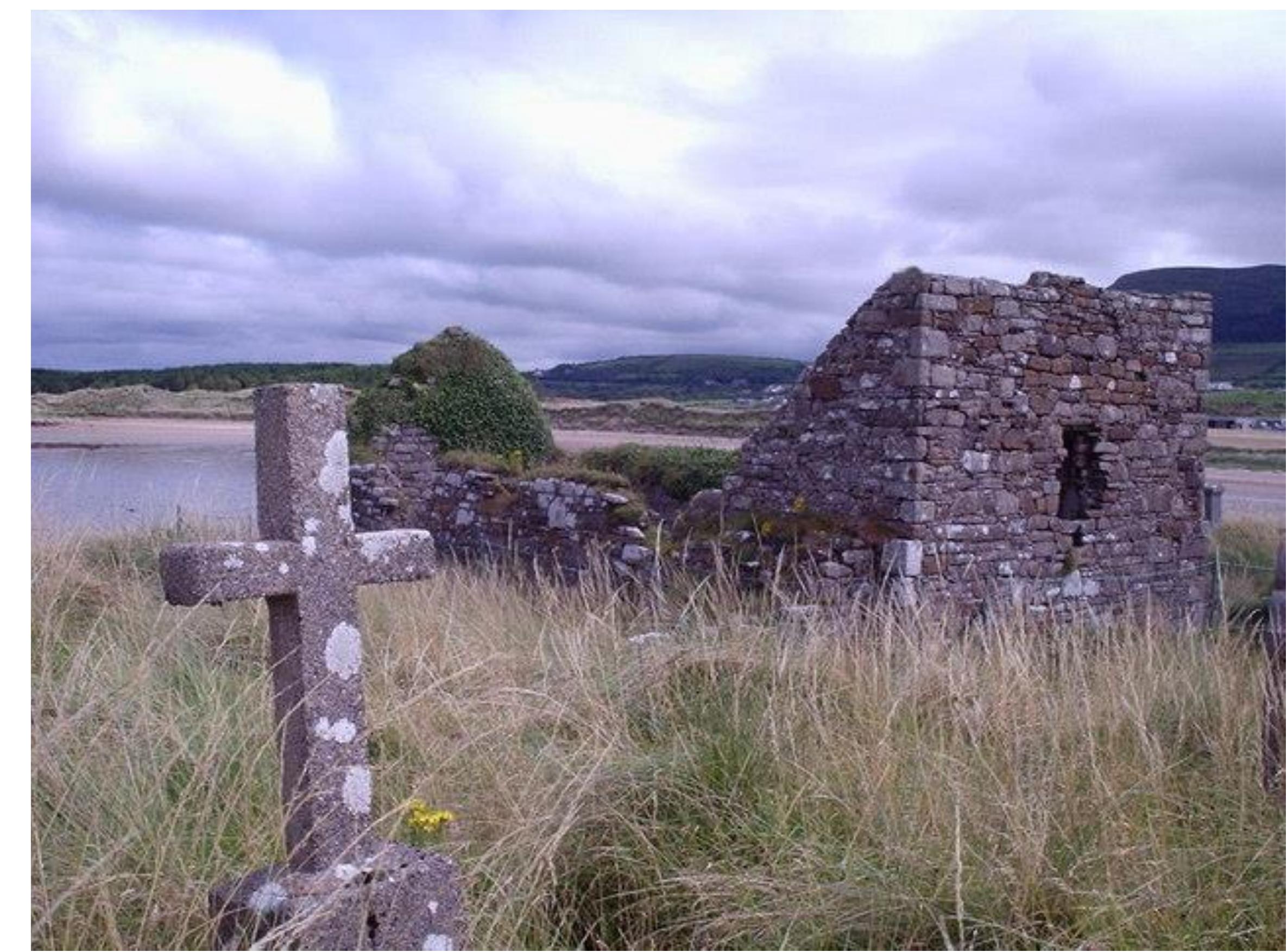 Church (Site of)Church · 1028 yd
 Castle (Site of)Castle, unclassified · 1.5 mi
 Moylung Castle (in ruins)Castle, unclassified · 1.8 mi
 Hughestown WoodForest · 4.1 mi
 Horse-chestnutHorse-chestnut · 4.8 mi
 King William MemorialMonument · 5.2 mi
 Moon RiverHeritage attraction · 5.3 mi
 Patrick Gill Memorial Plaque (IRA)Monument · 8.4 mi
 Curlew MountainsMountain / peak · 8.6 mi