What is recorded here
Depicted as a D-shaped embanked enclosure (ext. dims c. 95m NW-SE; c. 60m NE-SW) that appears to have been truncated at the SW side on the 1839 ed. of the OS 6-inch map and as a fragment of a bank (L c. 45m) at NE on the 1924 ed. It is situated on the flood-plain of the S-N Owenavorragh River with the stream c. 120m to the W. This is an oval grass-covered area (dims 79m NW–SE; 64m NE–SW) defined by an earthen bank (Wth 5m; int. H 0.6-0.8m; ext. H 1-1.8m) incorporated into a field bank and hedge with an external fosse (Wth of top 4-5m; D 0.5m) N–E, traces of a fosse (Wth 6-7m; D 0.3-0.4m) SE–S and by a slight scarp (H 0.5m) with more lush vegetation outside it (Wth 4-5m) S–NW. There is no identifiable entrance.
Depicted as a D-shaped embanked enclosure (ext. dims c. 95m NW-SE; c. 60m NE-SW) that appears to have been truncated at the SW side on the 1839 ed. of the OS 6-inch map and as a fragment of a bank (L c. 45m) at NE on the 1924 ed. It is situated on the flood-plain of the S-N Owenavorragh River with the stream c. 120m to the W. This is an oval grass-covered area (dims 79m NW–SE; 64m NE–SW) defined by an earthen…
From the National Monuments Service (Archaeological Survey of Ireland) record WX022-001
The monument record does not grant public access. Check the route and ask the landowner before entering private land.
- What survives
- Recorded monument
Places near here
Photo credits
- National Inventory of Architectural Heritage
- Bruce Marlin, Wikimedia Commons · CC BY-SA 2.5
- Michael Dibb, Geograph · CC BY-SA 2.0
- Andreas F. Borchert, Wikimedia Commons · CC BY-SA 4.0
- sarah777, Wikimedia Commons · CC BY-SA 2.0
- Hywel Williams, Wikimedia Commons · CC BY-SA 2.0
Embanked enclosureCastle, motte · 1742 yd Clonganny HouseCountry house · 1.4 miBallinastudd HouseFarm house · 1.4 miShrule Deer FarmHeritage attraction · 1.9 miBird BoxesVisitor information · 2.6 miBirds of PreyVisitor information · 2.7 miFontainebleau service tree2.9 miFontainebleau service tree3.0 miMorriscastle BeachBeach / strand · 3.6 miGlascarrig AbbeyArchaeological place · 4.0 mi1798 MemorialMonument · 5.4 miTulach a' tSolaisMonument · 5.8 mi
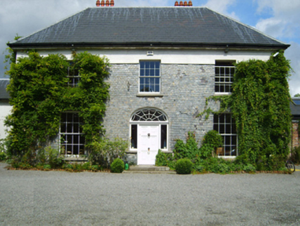 Clonganny HouseCountry house · 1.4 mi
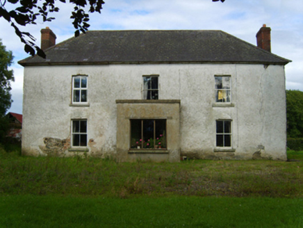 Ballinastudd HouseFarm house · 1.4 miShrule Deer FarmHeritage attraction · 1.9 miBird BoxesVisitor information · 2.6 miBirds of PreyVisitor information · 2.7 mi
 Fontainebleau service tree2.9 miFontainebleau service tree3.0 mi
 Morriscastle BeachBeach / strand · 3.6 mi
 Glascarrig AbbeyArchaeological place · 4.0 mi
 1798 MemorialMonument · 5.4 mi
 Tulach a' tSolaisMonument · 5.8 mi
More archaeology and monuments in County Wexford · All of County Wexford
What do you know about this place?