What is recorded here
Embanked enclosure is a fairy fort or earthen ringfort in Coolteige, County Roscommon, Ireland. It occupies a NE-facing slope where a grass-covered oval area measures 39m east-west and 33m north-south. A scarp with remaining earthen bank and narrow ditch defines the boundary, while a drystone wall circumvents the SE-W-NW perimeter. No original entrance is identifiable, though the S-W section remains best preserved.
On a NE-facing slope. Described in 1978 as a grass-covered oval area (dims 39m E-W; c. 33m N-S) defined by a scarp with the remains of an earthen bank on top and a narrow ditch at its base. It was best preserved S-W and had a drystone wall outside it SE-W-NW (SMR file). There was no identifiable original entrance. It is now visible as a circular area (diam. c. 40m) defined by lush vegetation (Wth 1-2m), and circumvented by a drystone wall SE-W-NW.
Compiled by: Michael Moore
Date of upload: 24 August 2010
The monument record does not grant public access. Check the route and ask the landowner before entering private land.
- What survives
- Recorded monument
Places near here
 CashelFairy fort / stone ringfort · 908 yd
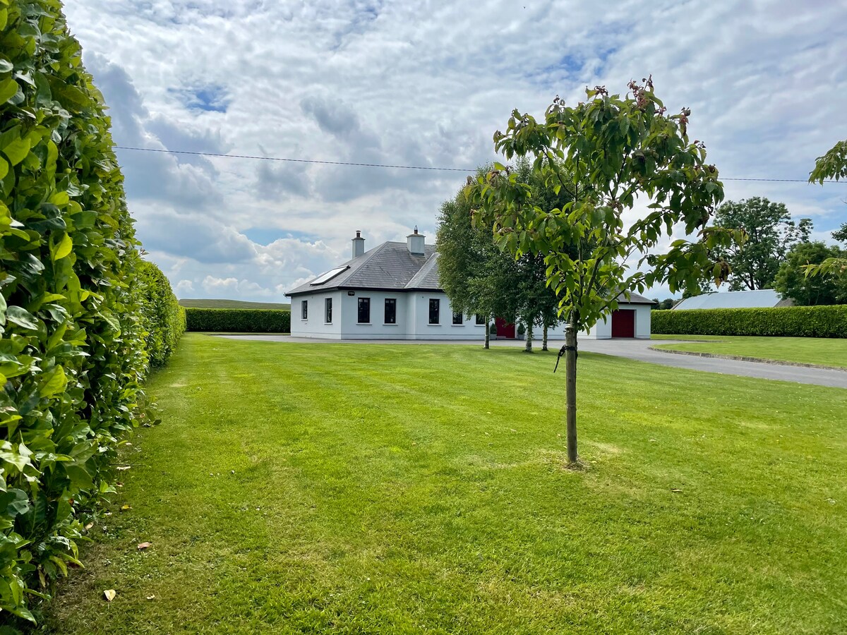 Embanked enclosureFairy fort / earthen ringfort · 1282 yd
 AbbeyChurch · 1.5 mi
 Fortview Househouse · 1.7 mi
 CastleCastle, unclassified · 1.7 mi
 Leitrim CastleCastle, unclassified · 2.7 mi
 Roscommon CastleCastle · 3.1 mi
 Big IslandForest · 4.7 mi
 Little IslandForest · 4.8 mi
 Slieve BawnMountain / peak · 5.3 mi
 FerrinchIslet · 6.3 mi
 Bushy IslandIslet · 7.2 mi