What is recorded here
Marked as a small feature (ext. diam. c. 15m) on the 1837 ed. of the OS 6-inch map, and situated on a gentle E-facing slope. Circular grass-covered area (int. diam. 6m) defined by the grass-covered foundations of a wall with inner and outer facing-stones (T 1.5m; H 0.5m) W-N-E, and a scarp elsewhere. A jamb-stone from the N side of an entrance survives at E.
Compiled by: Michael Moore
Date of upload: 24 August 2010
The monument record does not grant public access. Check the route and ask the landowner before entering private land.
- What survives
- Recorded monument
Places near here
 Embanked enclosureFairy fort / earthen ringfort · 987 yd
 CairnCairn, clearance cairn · 1216 yd
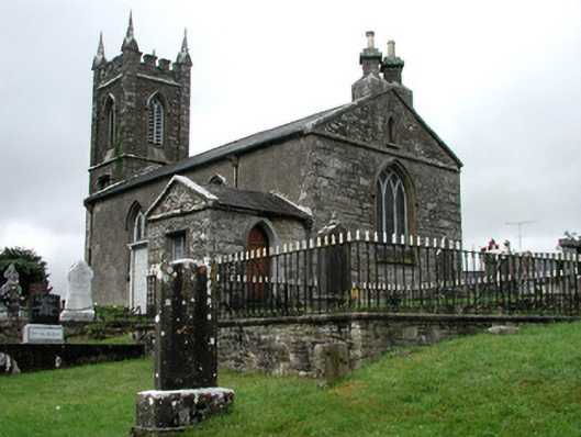 Kiltullagh Church (Kiltullagh)church/chapel · 1551 yd
 Lavan'shouse · 1705 yd
 CastleCastle, unclassified · 3.8 mi
 Coolougher WoodForest · 4.2 mi
 Slieve DartMountain / peak · 5.2 mi
 Castle (in ruins)Castle, unclassified · 6.9 mi
 Site of Killomaine Grave YardArchaeological place · 10 mi
 East Mayo Brigade MonumentMemorial · 12 mi
 European ashEuropean ash · 17 mi
 Crow IslandIslet · 17 mi