What is recorded here
On a bluff overlooking a SE-NW section of the River Suck, which is c. 80m to the SW. Circular grass-covered area (diam. 36m E-W; 35.7m N-S) defined by a flat-topped earthen bank (Wth of base 6.9-8.8m; Wth of top 1.7m at N to 3.4m at S; int. H 0.2m at S to 0.6m at W; ext. H 0.9m at S to 1.7m at W). There is no visible fosse or identifiable original entrance.
Compiled by: Michael Moore
Date of upload: 24 August 2010
The monument record does not grant public access. Check the route and ask the landowner before entering private land.
- What survives
- Recorded monument
Places near here
 church/chapelchurch/chapel · 818 yd
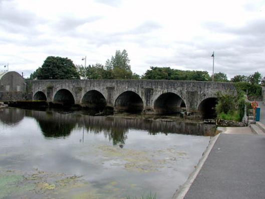 Athleague BridgeOfficially recorded historic building · 847 yd
 CastleHouse, fortified house · 928 yd
 Enclosure in ToberavaddyEnclosure · 1101 yd
 IndicatedFairy fort / earthen ringfort · 1378 yd
 European Crab AppleEuropean Crab Apple · 1.6 mi
 Sally IslandIslet · 2.2 mi
 European YewEuropean Yew · 3.1 mi
 Castle KellyCastle, tower house · 3.2 mi
 Mount MaryMountain / peak · 4.9 mi
 Roscommon CastleCastle · 5.3 mi
 Inch IslandIsland · 8.0 mi