What is recorded here
At the crest of a low N-S ridge overlooking a NNW-SSE section of the Feorish River which is c. 230m to the SW. Circular grass-covered area (diam. c. 37m) defined by a low scarp (Wth 1.6-2m; H 0.2-0.3m) which is overlain by a NE-SW field wall towards the perimeter at NW, and it is overgrown NW of this feature. There is no visible fosse or identifiable original entrance.
Compiled by: Michael Moore
Date of upload: 24 August 2010
The monument record does not grant public access. Check the route and ask the landowner before entering private land.
- What survives
- Recorded monument
Places near here
 St Barrys ChurchChurch · 1.1 mi
 Penitential station in Cloonmore (ballintober North By.)Penitential station · 1.2 mi
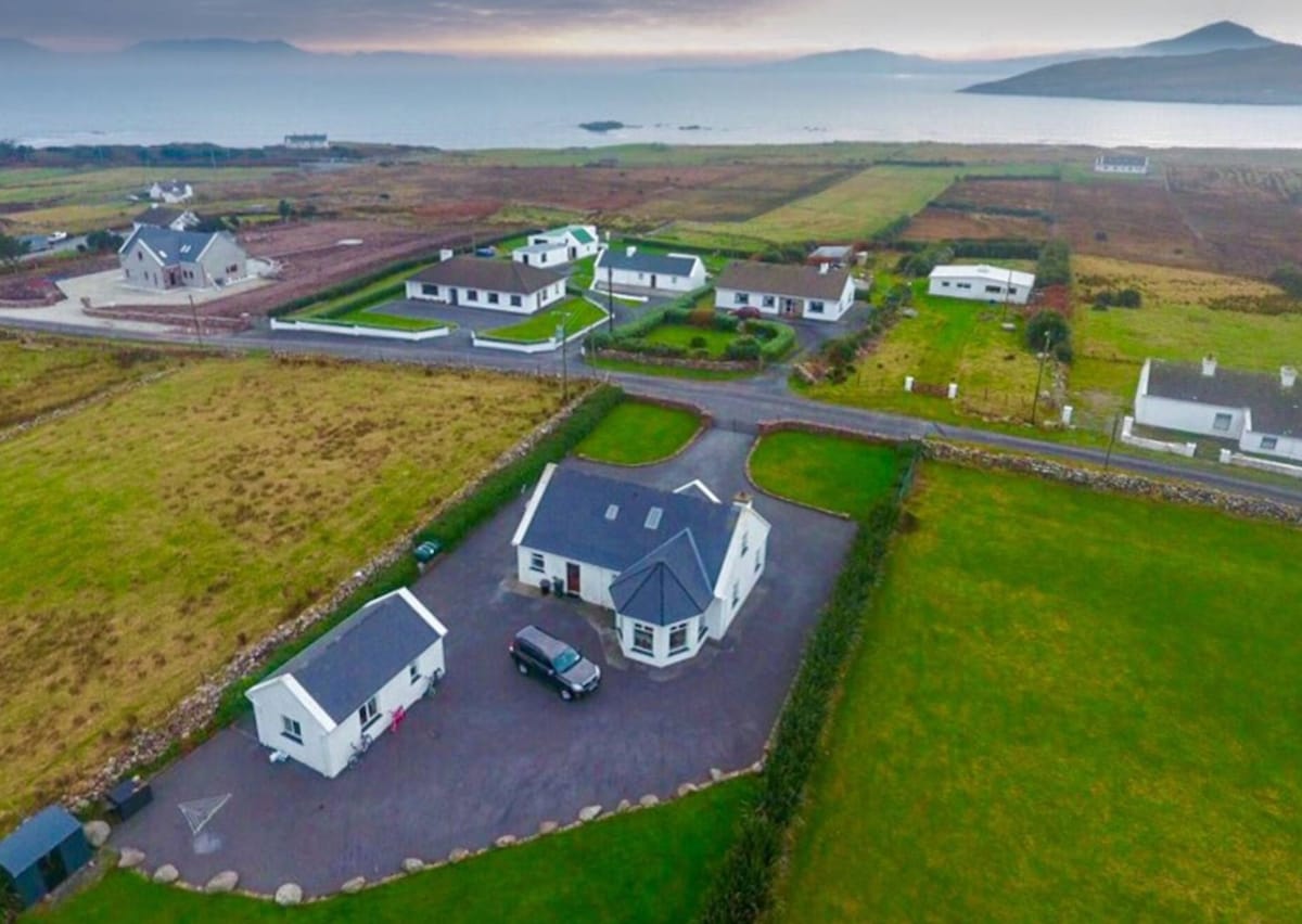 IndicatedFairy fort / earthen ringfort · 1.6 mi
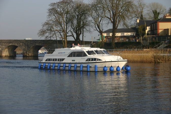 St Barrys BoatRitual site, holy/saint's stone (present location) · 2.1 mi
 St. Barry's WellSpring · 3.3 mi
 Long IslandIslet · 3.8 mi
 Doughill ForestForest · 4.3 mi
 Slieve BawnMountain / peak · 4.7 mi
 CastleCastle, unclassified · 4.9 mi
 Bawn in Castleforbes DemesneBawn · 5.0 mi
 Lebanon CedarLebanon Cedar · 5.0 mi
 Commons North WalkVisitor information · 5.6 mi