What is recorded here
Located on a slight N-S spur with N-S streams c. 480m to the E and c. 420m to the SW. This is a circular grass-covered area (diam. 39m) defined by an earthen bank, best preserved (Wth c. 3m; int. H 0.6m; ext. H 2.3m) in a field bank NE-SW, and an external fosse (Wth c. 4m; D 0.5m). From SW-W-NE the bank is reduced to a scarp (H c. 0.4m) with an outer silted fosse (Wth of top c. 5m). There is no visible entrance.
The above description is derived from the published 'Archaeological Inventory of County Wexford' (Dublin: Stationery Office, 1996). In certain instances the entries have been revised and updated in the light of recent research.
Compiled by: Michael Moore
Date of upload/revision: 16 August, 2013
The monument record does not grant public access. Check the route and ask the landowner before entering private land.
- What survives
- Recorded monument
Places near here
 R. C. Chapel (in ruins)Church · 460 yd
 Site of CastleChurch · 474 yd
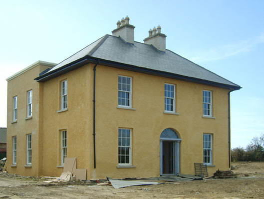 presbytery/parochial/curate's housepresbytery/parochial/curate's house · 1087 yd
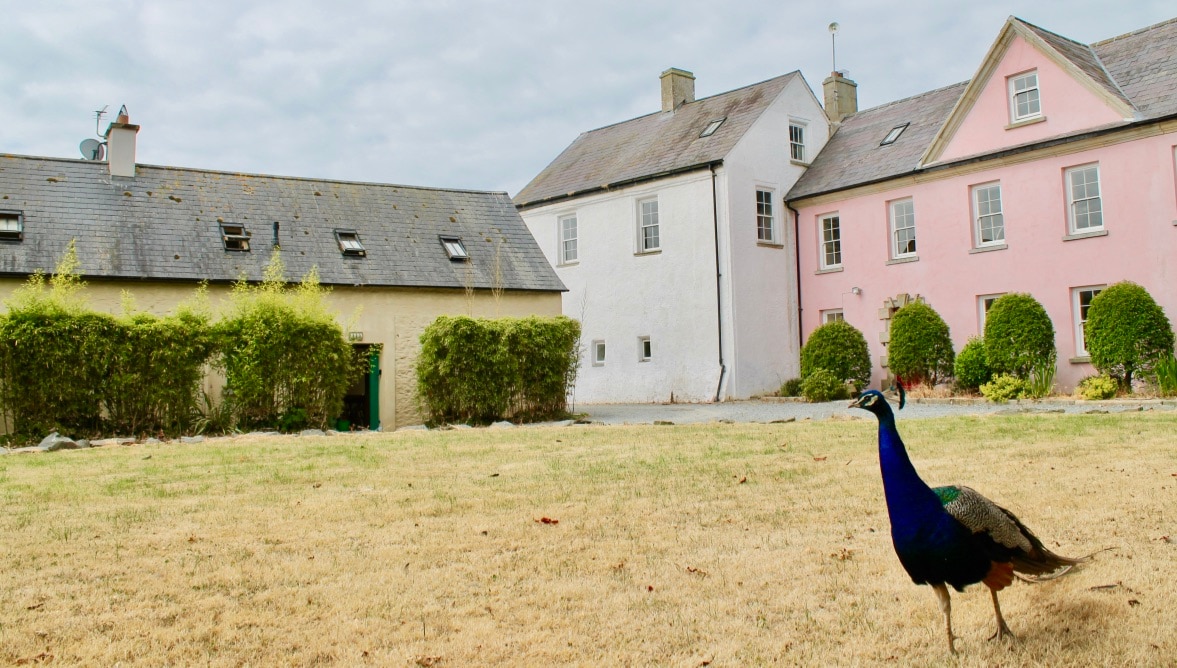 Castle (in ruins)Castle, unclassified · 1409 yd
 CastleRuins · 1431 yd
 Font in BallyconnickFont · 1.1 mi
 Carrickatinna RockMountain / peak · 2.2 mi
 Skeater RockMountain / peak · 2.4 mi
 Cull IslandIsland · 4.6 mi
 Ballyteigue BurrowNature reserve · 5.4 mi
 The Heron's MeadowForest · 5.4 mi
 1798 Memorial PlaqueMemorial · 5.6 mi