What is recorded here
Embanked enclosure is a fairy fort or earthen ringfort in Cleaheen, County Roscommon, Ireland. It occupies the southwest end of a low northwestern ridge, forming a D-shaped grass-covered area twenty-six and a half metres east-west and twenty metres north-south. A three-metre-wide earthen bank and shallow scarp define part of the perimeter, while a disused laneway cuts through the southeast edge. No entrance or surrounding ditch remains visible.
At the SW end of a low NW-SE ridge. D-shaped grass-covered area (dims 26.5m E-W; 20m N-S) defined by an earthen bank (Wth 3m; int. H 0.2-0.3m; ext. H 0.2-0.3m) N-ENE and a scarp (max. H 0.8m) S-W, but there is no evidence of the perimeter W-N. There is no visible fosse or entrance, and a disused NE-SW laneway truncates the perimeter at SE (L c. 15m).
Compiled by: Michael Moore
Date of upload: 24 August 2010
The monument record does not grant public access. Check the route and ask the landowner before entering private land.
- What survives
- Recorded monument
Places near here
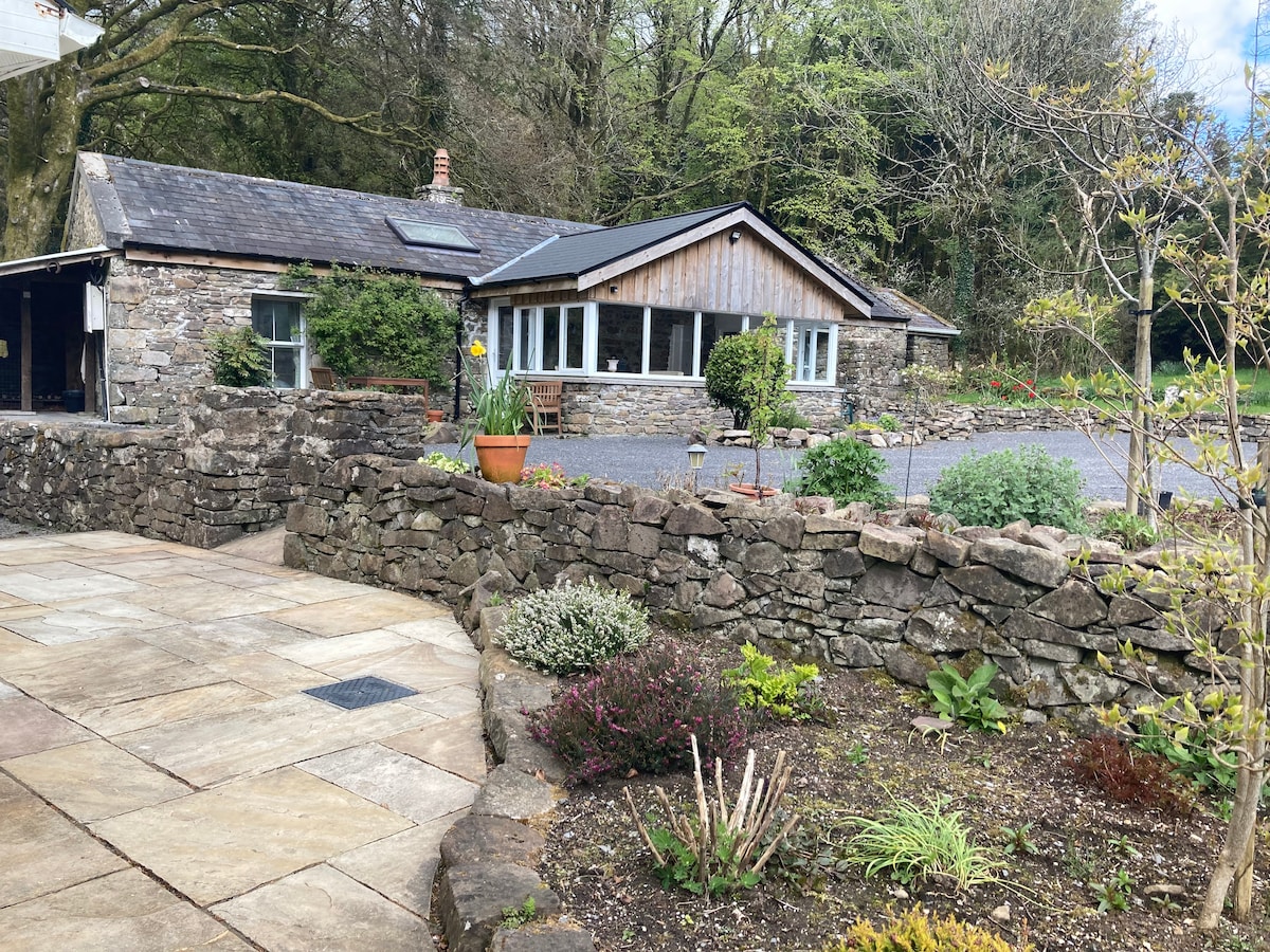 Embanked enclosureFairy fort / stone ringfort · 403 yd
 St. Eidins GraveShrine · 856 yd
 Church (in Ruins)Church · 864 yd
 Killeen ChurchChurch · 1.0 mi
 Hughestown WoodForest · 1.4 mi
 Moon RiverHeritage attraction · 1.8 mi
 PortCastle, unclassified · 2.2 mi
 CastlecarraCastle, unclassified · 2.4 mi
 Battle of Áth an Chipbattle · 2.8 mi
 Shannon-Erne WaterwayVisitor information · 2.9 mi
 InishnagonIsland · 3.6 mi
 Leabaidh DermotCave · 4.6 mi