What is recorded here
On the crest at the E end of a low WNW-ESE ridge. Circular grass-covered area (diam. 26.5m N-S) defined by an earthen bank (Wth 2.8-3m; int. H 0.4m; ext. H 1-1.2m) WSW-NW with slight traces of a bank at NE and S, and a scarp (H 0.5-0.9m) elsewhere. There are slight traces of a fosse (Wth of base 3.5m; D 0.1-0.2m) at SE and SW. There is no visible entrance, but there is a mound (RO009-051001-) (diam. 4.2m; H 0.3m) just W of the centre.
Compiled by: Michael Moore
Date of upload: 24 August 2010
The monument record does not grant public access. Check the route and ask the landowner before entering private land.
- What survives
- Recorded monument
Places near here
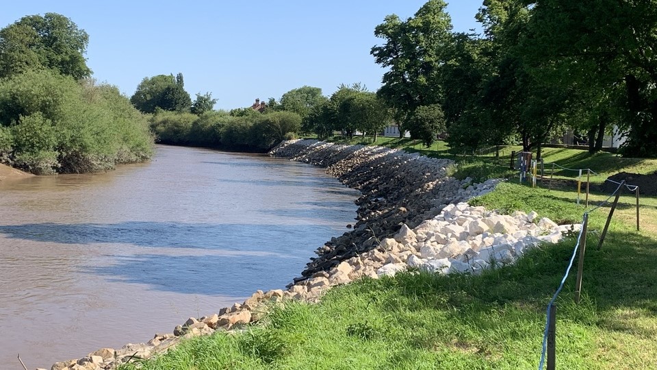 Embanked enlcosureFairy fort / earthen ringfort · 734 yd
 CastleBawn · 1224 yd
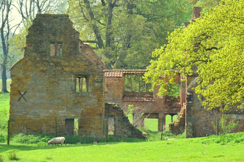 Enclosure in DowerEnclosure · 1290 yd
 Bawn IslandIslet · 1481 yd
 Corn Kiln (1838).Kiln, corn-drying · 1.3 mi
 AltarPenitential station · 1.3 mi
 Square WoodForest · 1.5 mi
 Gray's WoodForest · 1.7 mi
 Frenchpark Ho.Castle, unclassified · 2.0 mi
 Rose PointHeadland · 2.4 mi
 Castle PointHeadland · 3.2 mi
 Inch IslandIslet · 3.4 mi
Other information
Photo: Credit not shown in the picture search · Rights wording not checked; contact us if this picture should be removed