What is recorded here
On a broad low hill, in tillage. Indicated as an oval embanked enclosure (ext. dims. c. 50m NW-SE; c. 35m NE-SW) on the 1st (1841) ed. OS 6-inch map. The monument is not indicated on the 1905 revision of the OS 6-inch map, which suggests it was levelled between 1841 and 1905. The S perimeter is preserved in a curve in the field boundary which runs roughly E-W along the S quadrant and the interior is visible as a circular dished area (diam. c. 30m). A geophysical survey carried out in 2024 revealed that the enclosure had an outer fosse, which continues beyond the curving field boundary (Murphy 2024; 24R0390). This survey also revealed a curvilinear annexe (WA017-148----) adjoining to the N.
Compiled by: Jean Farrelly
The monument record does not grant public access. Check the route and ask the landowner before entering private land.
- What survives
- Recorded monument
Places near here
 Burnt mound in CarriglongBurnt mound · 241 yd
 IndicatedFairy fort / ringfort · 254 yd
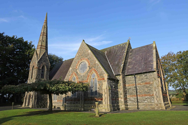 St, Brigets Church (in ruins)Church · 1396 yd
 Perry's BridgeOfficially recorded historic building · 1603 yd
 Cullen Castle (in ruins)Castle, tower house · 1.2 mi
 Sugar Loaf RockMountain / peak · 1.5 mi
 Tourist InformationVisitor information · 2.4 mi
 Tramore Dunes WalkWalking route · 2.5 mi
 Cannon GunBattlefield · 2.6 mi
 Doneraile WalkWalking route · 2.7 mi
 Mote or TumulusCastle, motte · 3.1 mi