
What is recorded here
Embanked enclosure is a fairy fort or ringfort in Carriglea (decies Without Drum By.), County Waterford, Ireland. The 1999 county inventory recorded it as a circular embanked enclosure in level tillage that was not visible at ground level. Two earlier Ordnance Survey maps marked it with slightly different sizes, but no earthwork or entrance remains identifiable there today.
Marked as a circular embanked enclosure on the 1st (ext. diam. c. 42m) and 1927 (diam. c. 45m) eds. of the OS 6-inch maps. Situated in tillage on a level landscape, it is not visible at ground level.
The above description is derived from the published 'Archaeological Inventory of County Waterford' (Dublin: Stationery Office, 1999). In certain instances the entries have been revised and updated in the light of recent research.
Date of upload/revision: 11th August, 2011. Compiled by: Michael Moore.
The monument record does not grant public access. Check the route and ask the landowner before entering private land.
- What survives
- Recorded monument
Places near here
 Burial Gd.Burial ground · 144 yd
 Bon Sauveur Conventhouse · 383 yd
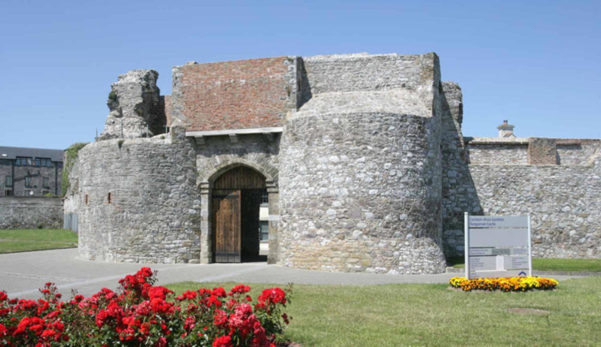 Site of Mullowneys VillageSettlement deserted, medieval · 940 yd
 Mount Odell Housefarm house · 1528 yd
 Master McGrathMemorial · 1.3 mi
 IndicatedBawn · 1.4 mi
 Kilgreany CaveCave · 2.1 mi
 Castle (in ruins)Castle, unclassified · 2.3 mi
 Grattan SquareVisitor information · 3.1 mi
 Waterford County MuseumMuseum · 3.2 mi
 Dungarvan World War I MemorialMemorial · 3.3 mi
 Dungarvan CastleCastle · 3.3 mi
Other information
Photo: Credit not shown in the picture search · Rights wording not checked; contact us if this picture should be removed