What is recorded here
Marked as a rectangular embanked or moated enclosure (ext. dims c. 65m N-S; c. 50m E-W) only on the 1839 edition of the OS 6-inch map. It is situated on the floor of a N-S valley, with a N-S stream c. 40m to the E and a hill rising steeply over it further E. No feature is visible at ground level in a cereal crop, but it is visible as the cropmark of a rectangular enclosure (dims c. 60m N-S; c. 42m E-W) defined by moats (Wth c. 2-4m) on Google Earth (14/07/2018), which was first reported by Simon Dowling. It is listed as a moated site (Barry 1977, 217, WX37).
See the attached enhanced view from Google Maps
The above description is derived from the published 'Archaeological Inventory of County Wexford' (Dublin: Stationery Office, 1996). In certain instances the entries have been revised and updated in the light of recent research.
Compiled by: Michael Moore
Date of upload/revision: 1 March, 2012
Amended: 15 May, 2014; 28 February 2020
The monument record does not grant public access. Check the route and ask the landowner before entering private land.
- What survives
- Recorded monument
Places near here
 IndicatedFairy fort / earthen ringfort · 984 yd
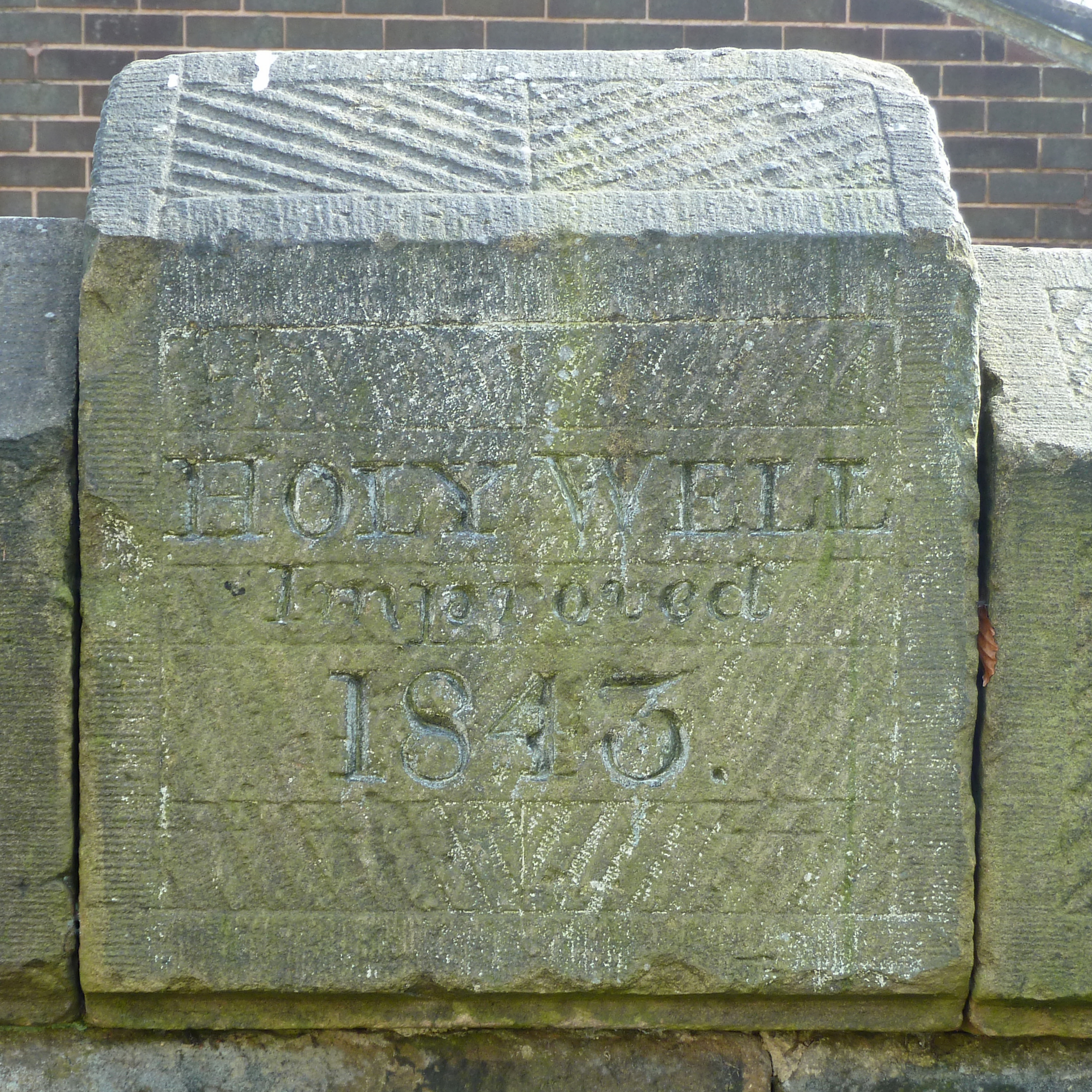 Holy Well (covd.)Holy well · 1500 yd
 SlievegowerMountain / peak · 1.1 mi
 Rossminoge Church (in ruins)Church · 1.1 mi
 Saint Brigid's WellSpring · 1.3 mi
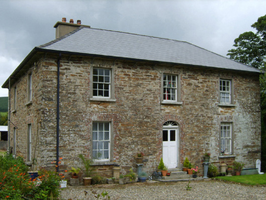 farm housefarm house · 1.4 mi
 Blue SchoolMemorial · 1.9 mi
 Camolin WoodForest · 2.7 mi
 Craan HillMountain / peak · 2.7 mi
 Mountnebo WoodForest · 3.6 mi
 Embanked enclosureCastle, motte · 5.5 mi
 Ferns Castle (in ruins)Castle, Anglo-Norman masonry castle · 6.4 mi