What is recorded here
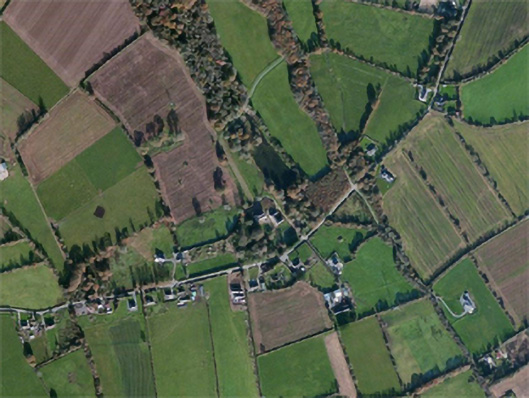
Located towards the bottom of a SW-facing slope at the head of a shallow NE-SW valley. It was described in the 1980s as a rectangular area defined by earthen banks (Wth 3-4m) with outer moats (Wth 2.5m; D 1.5m), with traces of outer banks at the S and E sides (SMR file). It was removed since 1982 and is not visible at ground level in reclaimed pasture. (Barry 1977, 217, WX 33)
The above description is derived from the published 'Archaeological Inventory of County Wexford' (Dublin: Stationery Office, 1996). In certain instances the entries have been revised and updated in the light of recent research.
Compiled by: Michael Moore
Date of upload/revision: 15 October, 2012
The monument record does not grant public access. Check the route and ask the landowner before entering private land.
- What survives
- Recorded monument
Places near here
 site of ChurchChurch · 1147 yd
 Carnagh Housecountry house · 1215 yd
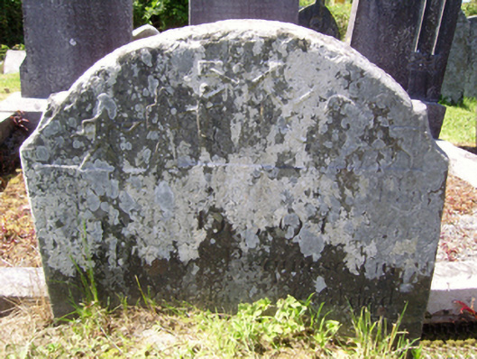 graveyard/cemeterygraveyard/cemetery · 1355 yd
 Field boundary in CarnaghField boundary · 1582 yd
 Castle (in ruins)Castle, tower house · 1.8 mi
 Castle in ruinsCastle, tower house · 2.7 mi
 Lacken HillMountain / peak · 3.3 mi
 Carrickbyrne HillMountain / peak · 3.3 mi
 Forest Of The DunbrodyForest · 3.5 mi
 Devon whitebeamDevon whitebeam · 4.0 mi
 Crutched FriarsMemorial · 4.5 mi
 Glenour MonumentMemorial · 6.1 mi