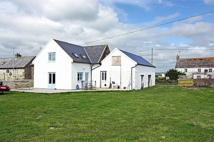
What is recorded here
Marked as a subrectangular embanked enclosure (ext. dims. c. 40m E-W; c. 35m N-S) on the 1839 ed. of the OS 6-inch map and as a polygonal enclosure on the 1924 ed. It is situated on a gentle SE-facing slope in the foothills of Camross Hill. This is a polygonal, scrub-covered enclosure (int. dims. 34.2m E-W; 32.3m N-S) defined by five straight sections of a stone-faced earthen bank (Wth 1.3-2.7m; int. H 0.3-0.8m; ext. H 1-1.3m) supporting mature coniferous trees. The enclosure is truncated by an E-W field bank at N. There is no visible fosse or entrance.
The above description is derived from the published 'Archaeological Inventory of County Wexford' (Dublin: Stationery Office, 1996). In certain instances the entries have been revised and updated in the light of recent research.
Compiled by: Michael Moore
Date of upload/revision: 7 Nevember, 2012
The monument record does not grant public access. Check the route and ask the landowner before entering private land.
- What survives
- Recorded monument
Places near here
 farm housefarm house · 795 yd
 KilnKiln, corn-drying · 1129 yd
 Field system in CamarossField system · 1158 yd
 Enclosure in AssagartEnclosure · 1162 yd
 Camaross HillMountain / peak · 1.2 mi
 Glenour MonumentMemorial · 2.1 mi
 (Site of) Doonoonen CastleCastle, motte · 2.3 mi
 Bawn in Tracystown WestBawn · 3.0 mi
 Carrickbyrne HillMountain / peak · 3.5 mi
 Coolcliffe HouseRuins · 4.9 mi
 Dick Joynt MemorialMemorial · 6.3 mi
 Carrig-On-BannowVisitor information · 8.8 mi
Other information
Photo: Credit not shown in the picture search · Rights wording not checked; contact us if this picture should be removed