
What is recorded here
Embanked enclosure is a fairy fort or earthen ringfort in Bredagh (athlone South By., Rockhill Ed),cartron (athlone South By., Rockhill Ed), County Roscommon, Ireland. It occupies a gentle south-facing slope as a circular grass-covered area measuring thirty-two and a half metres north-west to south-east and twenty-nine and eight metres north-east to south-west. A slight scarp defines the boundary, while a north-east to south-west field wall and townland limit with Cartron cut through the monument north-west of its centre. Rath lies seventy metres to the north-west.
Marked as a circular embanked enclosure (ext. diam. c. 35-40m) only on the 1837 ed. of the OS 6-inch map, and situated on a gentle S-facing slope. This is a circular grass-covered area (diam. 32.5m NW-SE; 29.8m NE-SW) defined by a slight scarp. A NE-SW field wall and townland boundary with Cartron cuts the monument NW of the centre. Rath (RO045-182----) is c. 70m to the NW.
Compiled by: Michael Moore
Date of upload: 24 August 2010
The monument record does not grant public access. Check the route and ask the landowner before entering private land.
- What survives
- Recorded monument
Places near here
 Embanked enclosureFairy fort / earthen ringfort · 306 yd
 IndicatedFairy fort / earthen ringfort · 1354 yd
 Kiltoom ChurchChurch · 1.3 mi
 InchihicleleyIslet · 1.4 mi
 InchmoreIslet · 1.7 mi
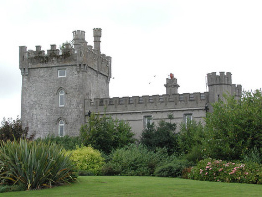 Moyvannan Castlecountry house · 1.9 mi
 Carnagh BayBay · 2.3 mi
 Curraghboy CastleCastle, unclassified · 2.4 mi
 Kilmore BayBay · 2.7 mi
 Castle (Site of)Castle, unclassified · 2.9 mi
 RindoonWood · 3.9 mi
 St. John's WoodWood · 4.5 mi
Other information
Photo: Credit not shown in the picture search · Rights wording not checked; contact us if this picture should be removed