
What is recorded here
Barnaree is a flat-topped earthen castle mound on a low ridge in County Wexford, still visible beside Kiltrisk. Its small top, faint bank and eastern ditch mark it as a made place rather than a natural rise. People may have stood there to watch the land, judge danger or simply belong to it. The earth remembers that use even when the names have thinned.
Described as the 'Moat of Kiltriske' in the Civil Survey (1654-6) description of the boundary of Donaghmore parish (Simington 1953, 41), and situated on a low E-W ridge. This is a flat-topped earthen mound (diam. of top 12m; diam. of base 20m; H 1.5–1.8m) with some trees. The top is defined by a slight bank (Wth 3m; int. H 0.3m) and there are slight traces of a fosse (Wth 3m) at the base on the E side. Kiltrisk church site (WX022-003001-) is c. 330m to the NNE.
The above description is derived from the published 'Archaeological Inventory of County Wexford' (Dublin: Stationery Office, 1996). In certain instances the entries have been revised and updated in the light of recent research.
Compiled by: Michael Moore
Date of upload/revision: 15 June, 2012
The monument record does not grant public access. Check the route and ask the landowner before entering private land.
- What survives
- Recorded monument
Places near here
 Church (in ruins)Church · 371 yd
 Kiltrisk WellHoly well · 444 yd
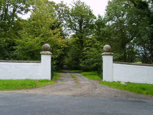 Peppard's Castlegates/railings/walls · 1267 yd
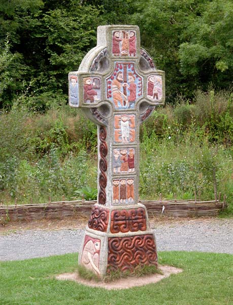 Cross in RaheenluskCross · 1673 yd
 Shrule Deer FarmHeritage attraction · 1.2 mi
 Site of Morris CastleCastle, unclassified · 2.0 mi
 The Cahore Polders and DunesNature reserve · 2.2 mi
 Castle Anneslwy (in ruins)Bawn · 2.4 mi
 Wexford - TexasMemorial · 2.5 mi
 1798 MemorialMemorial · 2.7 mi
 Morriscastle BeachBeach / strand · 2.7 mi
 Newtown BeachBeach / strand · 2.9 mi
Other information
Photo: Credit not shown in the picture search · Rights wording not checked; contact us if this picture should be removed