What is recorded here
Located on a NW-facing slope of the NE-SW ridge of Annagh Hill. Circular grass-covered area (diam. 33.5m E-W) defined by earthen bank (at W: Wth 4m; int. H 0.4m; ext. H 1.2m) separated by a fosse (at W: Wth of top 5m) from an outer bank (at W: Wth 4m; int. H 0.4m; ext. H 0.3m), which has been destroyed SE-SW (max. ext. diam. c. 50m). There is no visible entrance.
The above description is derived from the published 'Archaeological Inventory of County Wexford' (Dublin: Stationery Office, 1996). In certain instances the entries have been revised and updated in the light of recent research.
Compiled by: Michael Moore
Date of upload/revision: 27 January 2012
This remains an important historical record, but the official description says the monument is no longer visible or has been destroyed. The monument record does not grant public access. Check the route and ask the landowner before entering private land.
- What survives
- No visible remains or recorded as destroyed
Places near here
 Annagh HillMountain / peak · 1204 yd
 Double-bank enclosureFairy fort / earthen ringfort · 1502 yd
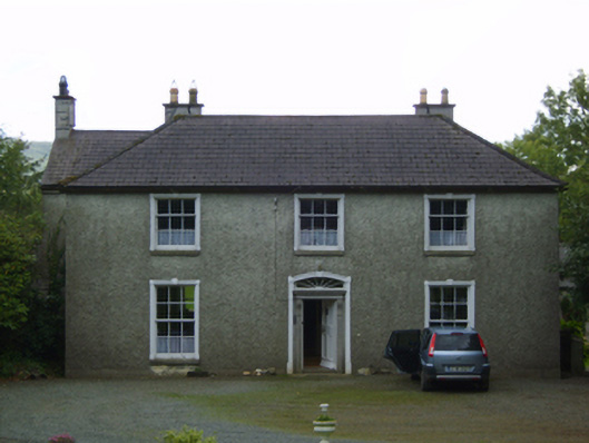 Wingfield Housefarm house · 1.1 mi
 Hut site in ConnahillHut site · 1.2 mi
 Ballythomas HillMountain / peak · 1.5 mi
 1798 MemorialMemorial · 1.5 mi
 Cummer Valefarm house · 1.6 mi
 CastleCastle, motte · 3.0 mi
 (Site of) Raymond CastleCastle, unclassified · 3.1 mi
 Killaveny WoodWood · 3.4 mi
 Mountnebo WoodForest · 3.4 mi
 White Heaps 1798Memorial · 4.2 mi