What is recorded here
Situated on the steep W-facing slope of Ballyminaun Hill. Marked as a circular embanked enclosure (ext. diam. c. 35m) on the 1839 ed. of the OS 6-inch map. No feature is visible at ground level in pasture. Archaeological monitoring (19E0723) by M. McCarthy of a water pipe c. 60m to the SW at the closest point produced no archaeological material (excavations.ie 2021:55).
The above description is derived from the published 'Archaeological Inventory of County Wexford' (Dublin: Stationery Office, 1996). In certain instances the entries have been revised and updated in the light of recent research.
Compiled by: Michael Moore
Date of upload: 11 April, 2012
Amended: 15 November 2022
The monument record does not grant public access. Check the route and ask the landowner before entering private land.
- What survives
- Recorded monument
Places near here
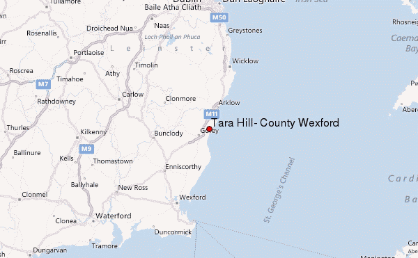 Ballyminaun HillMountain / peak · 347 yd
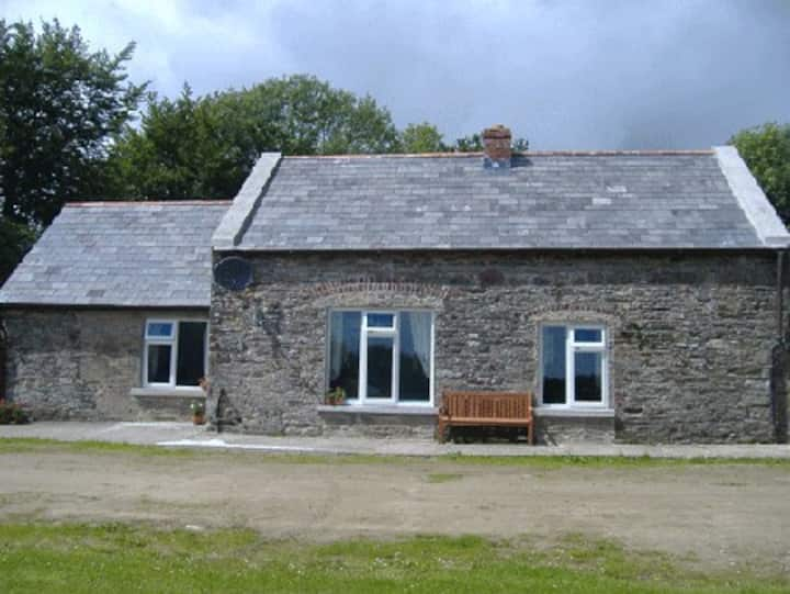 Fulacht fia in CoolnastuddFulacht fia · 678 yd
 IndicatedConcentric enclosure · 720 yd
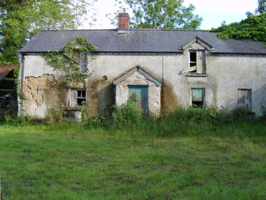 farm housefarm house · 793 yd
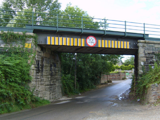 Coolnaveagh Bridgebridge · 1218 yd
 Carriganeagh RockMountain / peak · 1624 yd
 Barnadown WoodWood · 1.3 mi
 1798 MonumentMemorial · 1.9 mi
 Market HouseHeritage attraction · 2.1 mi
 Ballingarry WoodForest · 4.0 mi
 Giants BedNamed rock · 5.6 mi
 1798 MemorialMemorial · 5.9 mi