What is recorded here
At the summit of a low NW-SE ridge. Subrectangular grass-covered platform (dims 53.5m NE-SW; 42.4m NW-SE) with some scrub on the perimeter which has been quarried back everywhere except SW-W where it is defined by an earthen bank (Wth 4.5m; int. H 0.5m; ext. H 2.2m) with a rounded fosse (at SW: Wth of top 8.5m; Wth of base 4m; D 1.45m) and an outer bank (Wth 2m; H 0.8m) which survives SSE-W. Elsewhere the platform is defined by a scarp (H 1-1.4m). Gannon (1972) mentions a narrow reed-filled depression NE-SW (RO035-001002-) in the N interior of the rath, but there is no reason to believe that it is a Man-made underground passage, and is not in evidence now.
Compiled by: Michael Moore
Date of upload: 24 August 2010
The monument record does not grant public access. Check the route and ask the landowner before entering private land.
- What survives
- Recorded monument
Places near here
 Embanked enclosureFairy fort / earthen ringfort · 483 yd
 indicatedFairy fort / earthen ringfort · 580 yd
 Quarry in Ardlagheen More OR Highlake,carrowduff UpperQuarry · 645 yd
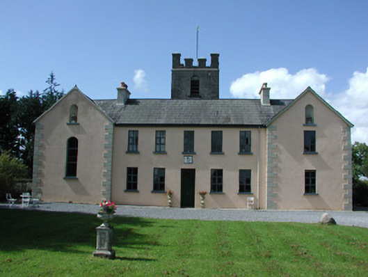 Highlake Housemonastery · 1.1 mi
 HawthornHawthorn · 3.3 mi
 CastlerubyCastle, unclassified · 3.8 mi
 CastleCastle, Anglo-Norman masonry castle · 4.3 mi
 ToberagullaSpring · 4.4 mi
 European ashEuropean ash · 4.4 mi
 Cruachan Aí Heritage CentreMuseum · 4.8 mi
 Site of Killomaine Grave YardArchaeological place · 7.1 mi
 Roscommon CastleCastle · 7.4 mi