
What is recorded here
Elgin, Linkwood Primary School is a field boundary in Moray, Scotland.
Places near here
Photo credits
- Andrew Wood, Wikimedia Commons · CC BY-SA 2.0
- Maker not stated on source page, www.pinterest.com
- Anne Burgess, Wikimedia Commons · CC BY-SA 2.0
- Alpin Stewart, Wikimedia Commons · CC BY-SA 2.0
- Phil Foley, Wikimedia Commons · CC BY-SA 2.0
- Des Colhoun, Wikimedia Commons · CC BY-SA 2.0
- Maker not stated on source page, www.flickr.com
- Maker not stated on source page, www.alamy.com
- Mary and Angus Hogg, Wikimedia Commons · CC BY-SA 2.0
 Burn of LinkwoodField Boundary(s), Rig and Furrow (medieval) - (post Medieval) · 466 yd
 Birkenhill WoodForest · 690 yd
 Linkwood DistilleryDistillery · 786 yd
 Elgin, Thornhill RoadDitch(s), Pit(s) · 973 yd
 Elgin, Linkwood FarmFarmstead (19th Century) · 996 yd
 GlassgreenField Boundary(s), Linear Feature(s), Pit(s), Ring Ditch (possible) · 1044 yd
 Elgin, GlassgreenField Boundary(s), Field Drain(s), Plough Marks(s), Rig and Furrow · 1116 yd
 Maggot WoodForest · 1152 yd
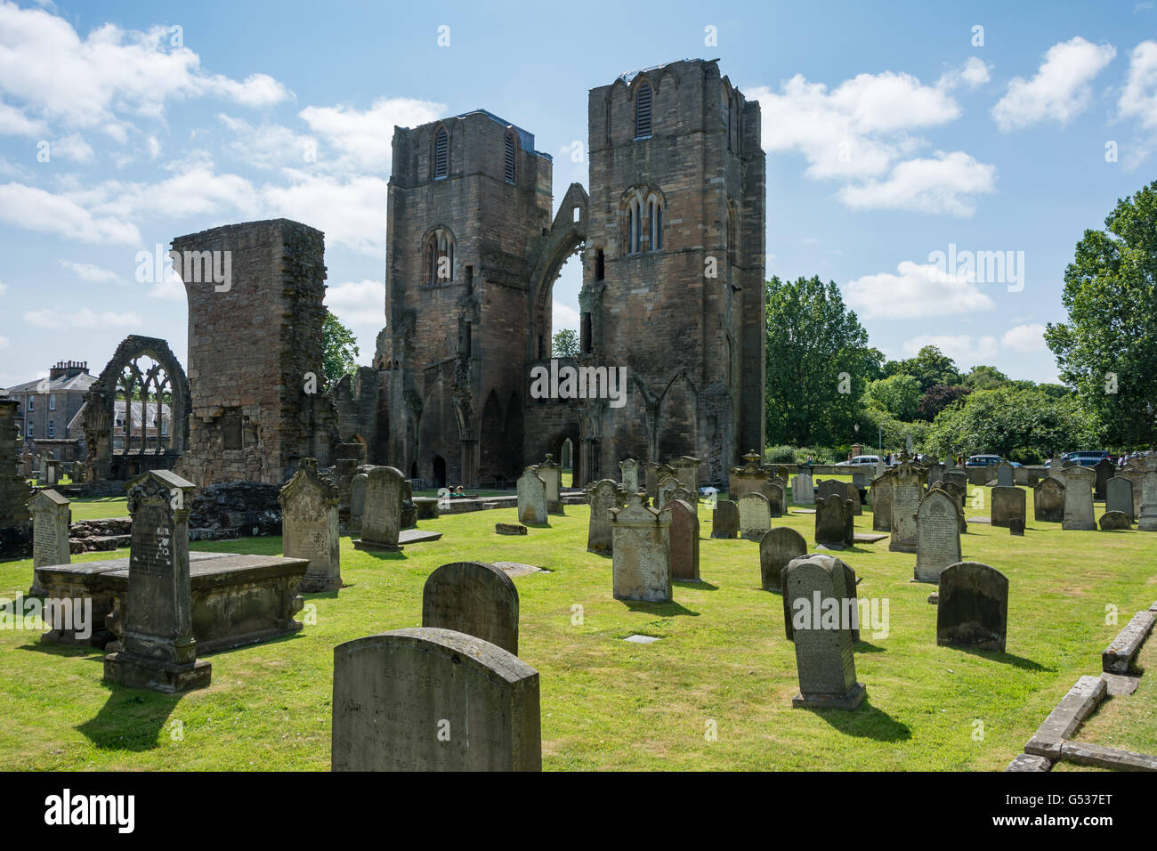 Elgin CemeteryCemetery (19th Century) · 1366 ydElgin, Cemetery, LodgeLodge · 1387 yd
 Burnside of BirnieFarmstead (19th Century) · 1576 yd
 Elgin Business ParkNo Class (event) · 1.0 mi
More archaeology and monuments in Moray · All of Moray

What do you know about this place?Tap to add a comment or ask a question