What is recorded here
Map note: Eileann Maleit, an islet, is mapped near Cladach Bhàlaigh, Na h-Eileanan Siar, Scotland. An island name can fire the imagination; the map fixes the spot.
From OpenStreetMap (© OpenStreetMap contributors) w1392133442
Places near here
Photo credits
- Maker not stated on source page, www.countryfile.com
- Douglas Nelson, Wikimedia Commons · CC BY-SA 2.0
- Maker not stated on source page, uk.pinterest.com
- Dave Fergusson, Wikimedia Commons · CC BY-SA 2.0
- Scot Tares, Wikimedia Commons · CC BY-SA 2.0
- Maker not stated on source page, www.dailymail.co.uk
- Helmut Zozmann, Wikimedia Commons · CC BY-SA 2.0
- Richard Law, Wikimedia Commons · CC BY-SA 2.0
- Mick Garratt, Wikimedia Commons · CC BY-SA 2.0
- Colin Smith, Wikimedia Commons · CC BY-SA 2.0
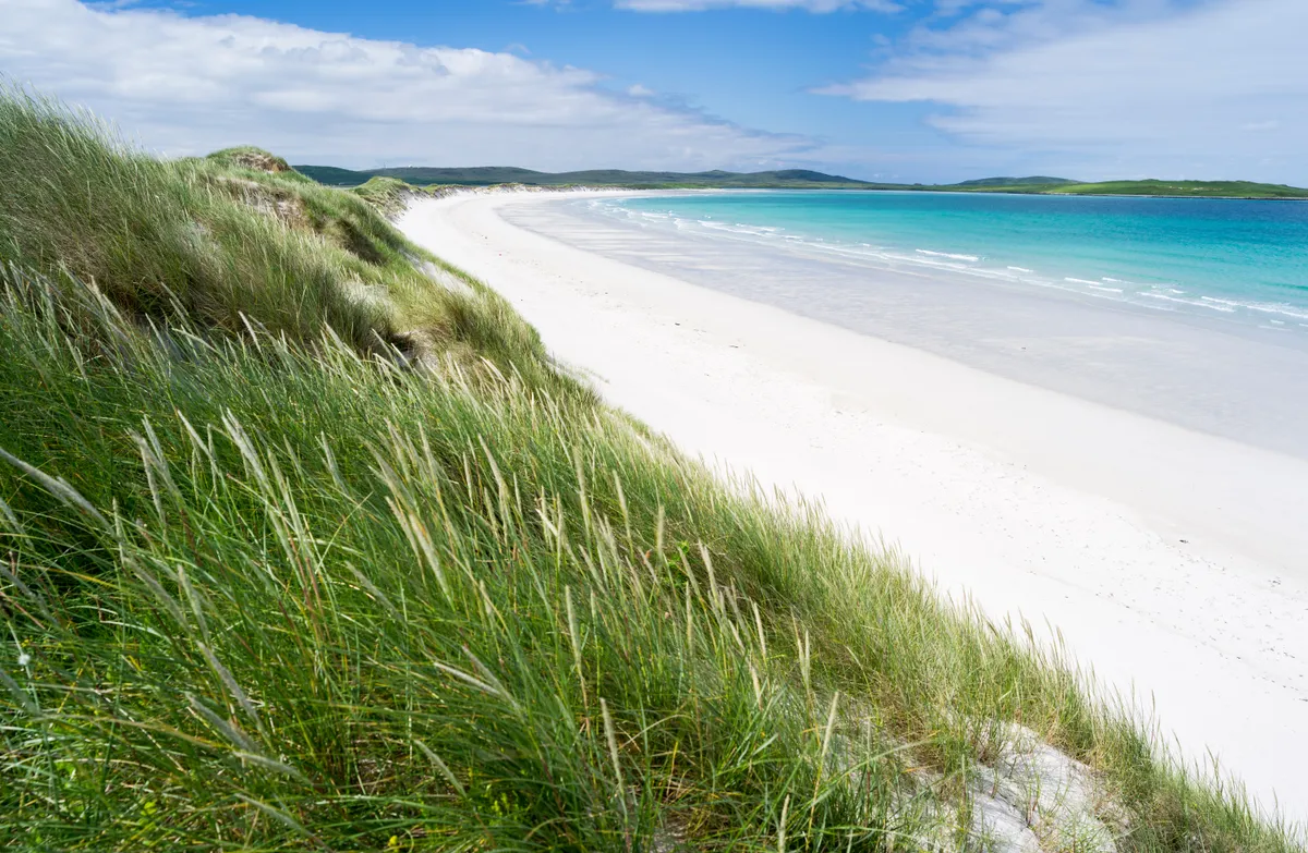 North Uist, Vallay Strand, Eileann MaleitAisled Roundhouse (iron Age), Dun, Wheelhouse (iron Age) · 4 ydNorth Uist, Vallay Strand, Eilean MaleitOccupation Site (possible) · 104 yd
 Cladach BhalaighBuilding (post Medieval) · 154 yd
 North Uist, Vallay Strand, Cnoc A'comhdalachAisled Roundhouse (iron Age), Broch (iron Age) (possible) · 528 yd
 Bus Shelter by the BeachBeach · 807 yd
 Tràigh BhàlaighBeach / strand · 1123 yd
 StangramIslet · 1316 yd
 Ford Cottage - 1981Old home or work place · 1422 yd
 A forest ride on Ben ErnaigeitirForest or wood · 1.3 mi
 Cleitreabhal a TuathMountain / peak · 1.8 mi
 Beinn ErnaigeitirMountain / peak · 1.8 mi
 St Kilda ViewpointViewpoint · 2.3 mi
More islands in Na h-Eileanan Siar · All of Na h-Eileanan Siar

What do you know about this place?Tap to add a comment or ask a question