What is recorded here
Map note: Eilean Mhic a' Cheàird is an islet near Portnahaven, Argyll and Bute, Scotland. The map shows where it sits, without promising a way across.
From OpenStreetMap (© OpenStreetMap contributors) w1357739400
Places near here
Photo credits
- paul birrell, Wikimedia Commons · CC BY-SA 2.0
- Maker not stated on source page, www.alamy.com
- Maker not stated on source page, ru.pinterest.com
- M J Richardson, Wikimedia Commons · CC BY-SA 2.0
- Maker not stated on source page, commons.wikimedia.org
- Gordon Brown, Wikimedia Commons · CC BY-SA 2.0
- Becky Williamson, Wikimedia Commons · CC BY-SA 2.0
- Maker not stated on source page, www.cottages.com
- Nick Smith, Wikimedia Commons · CC BY-SA 2.0
- Maker not stated on source page, uk.pinterest.com
 Islay, PortnahavenFlint Scatter (prehistoric) · 138 yd
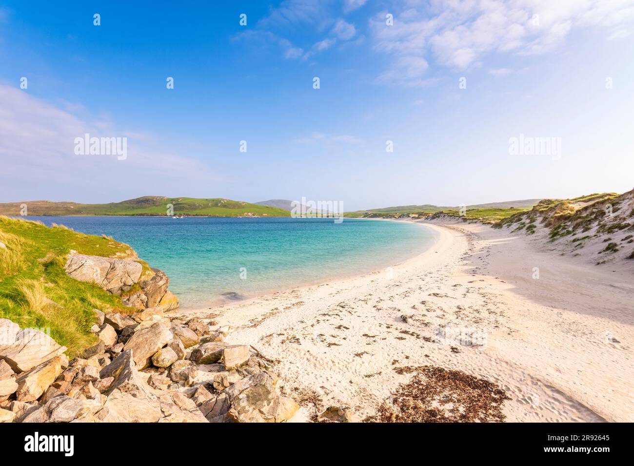 Port bhaighBeach / strand · 434 yd
 Eilean BihighIsland · 436 yd
 Eilean Mhic CoinnichBurial Ground (possible) · 467 yd
Explorer Tom Eilean Mhic Coinnich in Argyll and Bute is a possible burial ground from unknown times, which basically means nobody…
 Islay, Portnahaven, 5 Church StreetHouse · 479 yd
 Islay, Portnahaven and Port Wemyss Parish ChurchChurch (19th Century) (1830), War Memorial (20th Century) · 538 yd
 Sgeiran DubhaIslet · 577 yd
 Islay, CladdachFindspot, Scraper (tool)(s) (flint) · 805 yd
 Sgeir nan GallIslet · 812 yd
 currie sandsBeach / strand · 856 yd
 Islay, Portnahaven, Portnahaven SchoolSchool (19th Century) · 944 yd
 Islay, Portnahaven, Free ChurchChurch (19th Century) - (20th Century), House (20th Century) · 968 yd
More islands in Argyll and Bute · All of Argyll and Bute

What do you know about this place?Tap to add a comment or ask a question