What is recorded here
Unlocated monastery within townland described by Carrigan the 'Monastery of Srahane' that stood 100yds. North of the graveyard (LA010-002-) of Srahane on a gravelly ridge 120 yds. Long and 35 yds. Wide and rising abruptly to a height of about 60 ft.. The top of the ridge consists of a boat-shaped depression, about 100 yds. Long, 30 yds. Wide and 8 ft. deep. The monastery was situated within this depression, towards the end facing north and cannot have been much later as to date of erection than to St. Patrick's time (Carrigan 1905, vol. 2, p. 150)
Compiled by: Caimin O'Brien
Date of upload: 17 December 2007
The monument record does not grant public access. Check the route and ask the landowner before entering private land.
- What survives
- Recorded monument
Places near here
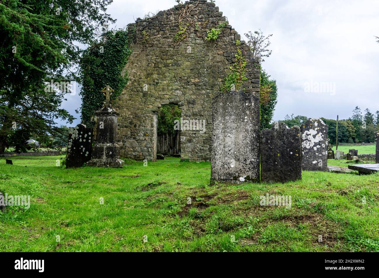 Ecclesiastical enclosure in SrahanboyEcclesiastical enclosure · 519 yd
 IndicatedBawn · 648 yd
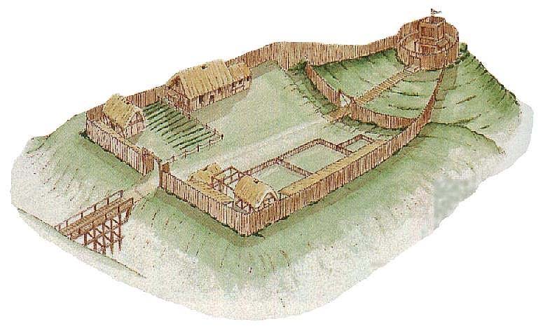 CastleCastle, motte and bailey · 849 yd
 Enclosure in DerrinduffEnclosure · 1.3 mi
 ArderinMountain / peak · 1.6 mi
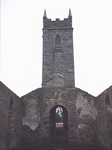 Saint Kevin's Catholic Churchchurch/chapel · 1.9 mi
 FarbreagueMountain / peak · 2.9 mi
 Partially indicatedRoad, road/trackway · 3.6 mi
 Sitka SpruceSitka Spruce · 4.3 mi
 Welcom to GlenreganVisitor information · 4.6 mi
 Kinnitty ForestForest · 4.6 mi
 Saint Dominick's WellSpring · 5.7 mi